Crookes Valley Park, Sheffield
Map

Gallery

Facts and practical information
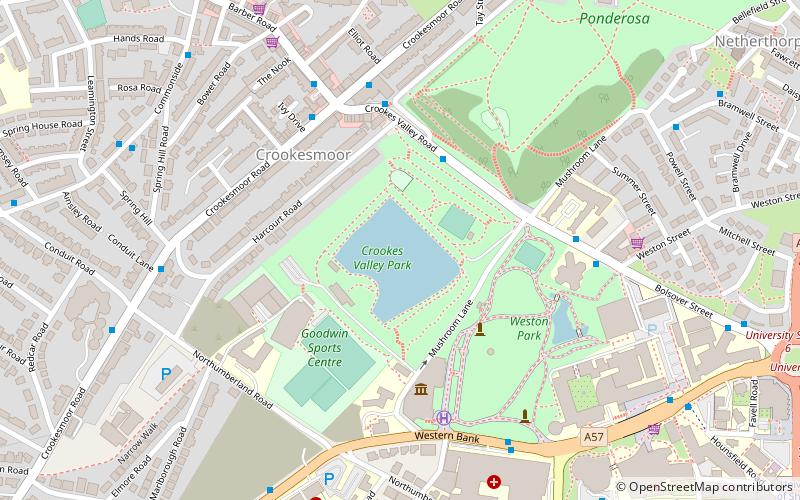
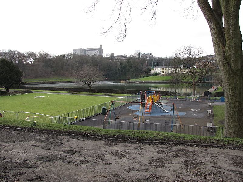
Crookes Valley Park is an area of public parkland in the Crookesmoor area of the City of Sheffield in South Yorkshire, England. The park lies just under two kilometres west of the City centre at 53.3834°N 1.4929°W / 53.3834; -1.4929. It is one of the three “Crookesmoor Parks” the other two being Weston Park and The Ponderosa. ()
Elevation: 394 ft a.s.l.Coordinates: 53°23'1"N, 1°29'34"W
Day trips
Crookes Valley Park – popular in the area (distance from the attraction)
Nearby attractions include: Corporation, University of Sheffield Students' Union, Weston Park, Kelham Island Tavern.
Frequently Asked Questions (FAQ)
Which popular attractions are close to Crookes Valley Park?
Nearby attractions include Crookesmoor Road, Sheffield (4 min walk), Weston Park, Sheffield (4 min walk), Weston Park Museum, Sheffield (4 min walk), Ponderosa, Sheffield (4 min walk).
How to get to Crookes Valley Park by public transport?
The nearest stations to Crookes Valley Park:
Bus
Tram
Bus
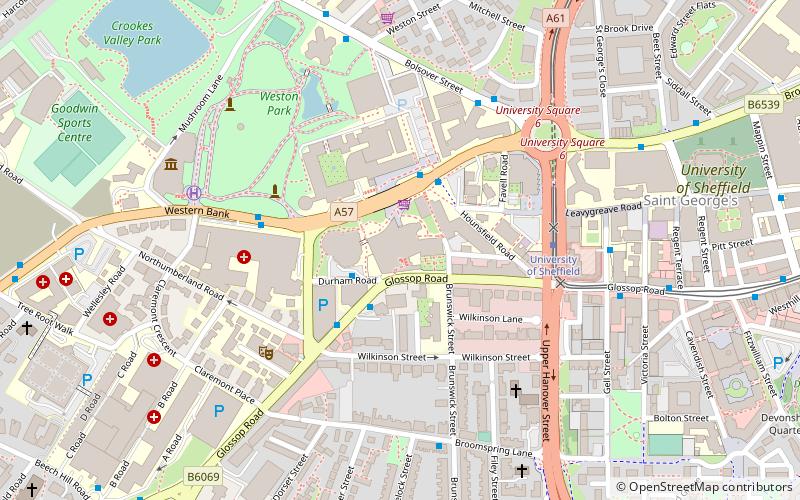
- Western Bank/Childrens Hospital • Lines: 257, 51 (6 min walk)
- Whitham Road/Northumberland Road • Lines: 257, 51 (7 min walk)
Tram
- University of Sheffield • Lines: Blue, Yell (11 min walk)
- Netherthorpe Road • Lines: Blue, Yell (11 min walk)


