Garden at Buckingham Palace, London
Map
Gallery
Facts and practical information
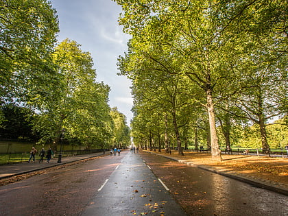
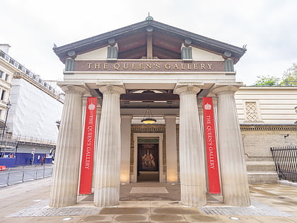
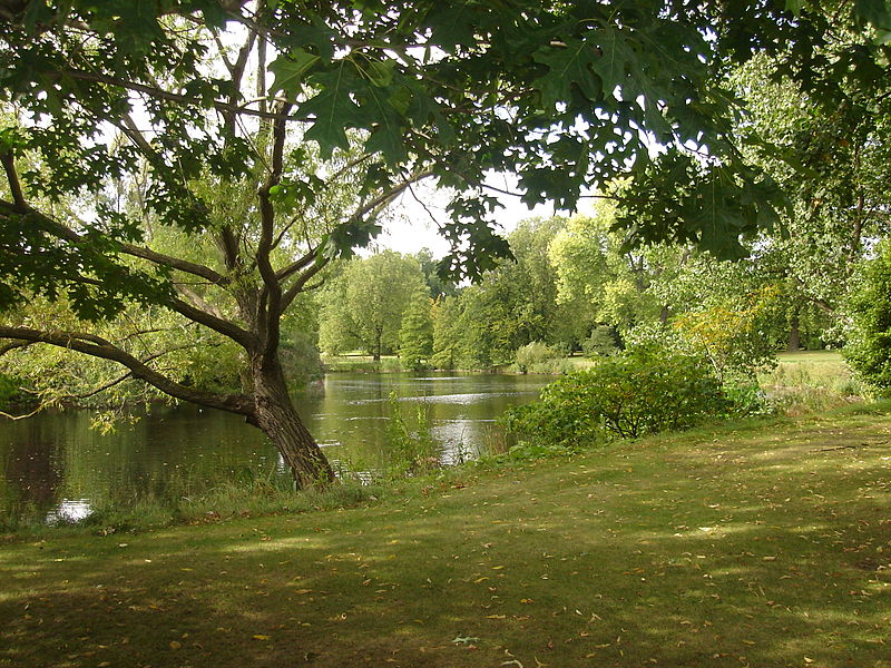
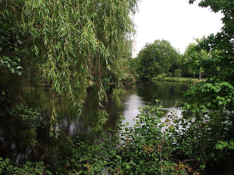
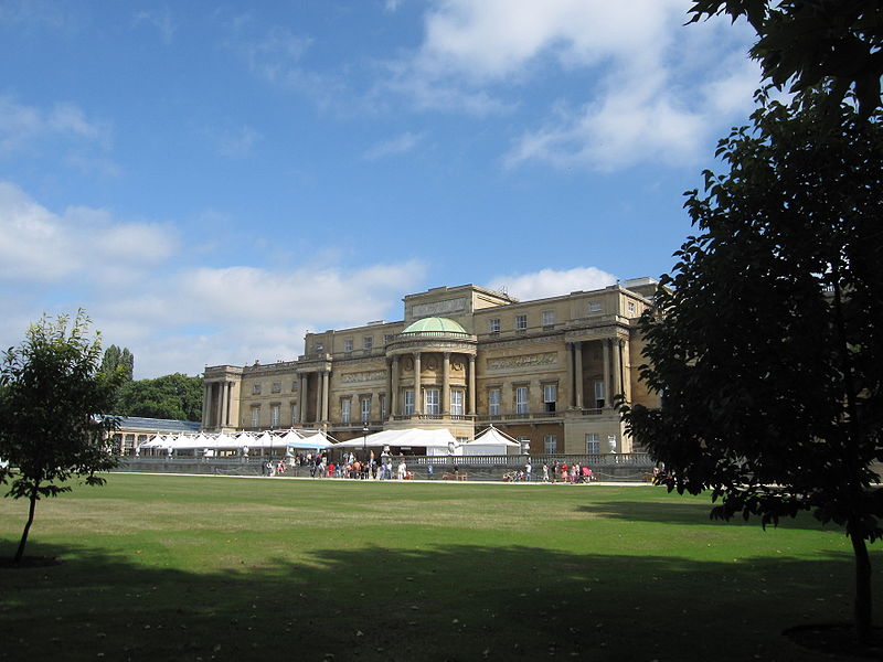
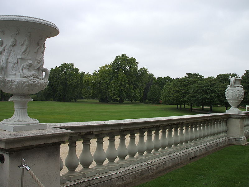
The Garden at Buckingham Palace is a large private park attached to the London residence of the monarch. It is situated at the rear of Buckingham Palace, occupying a 17 hectares site in the City of Westminster, and has two-and-a-half miles of gravel paths. Its area is bounded by Constitution Hill to the north, Hyde Park Corner to the west, Grosvenor Place to the south-west, and the Royal Mews, Queen's Gallery, and Buckingham Palace itself to the south and east. ()
Day trips
Garden at Buckingham Palace – popular in the area (distance from the attraction)
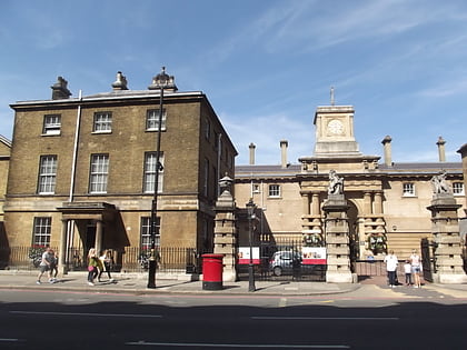
Nearby attractions include: Buckingham Palace, Apsley House, Green Park, Queen's Gallery.
Frequently Asked Questions (FAQ)
Which popular attractions are close to Garden at Buckingham Palace?
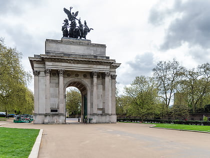
Nearby attractions include Waterloo Vase, London (4 min walk), Buckingham Palace, London (4 min walk), Queen's Gallery, London (5 min walk), Rifle Brigade War Memorial, London (5 min walk).
How to get to Garden at Buckingham Palace by public transport?
The nearest stations to Garden at Buckingham Palace:
Bus
Metro
Train
Ferry
Bus
- Wilton Street • Lines: 38, N38 (3 min walk)
- Buckingham Palace Road / Bressenden Place • Lines: 38, N38 (6 min walk)
Metro
- Victoria • Lines: Circle, District, Victoria (8 min walk)
- Hyde Park Corner • Lines: Piccadilly (10 min walk)
Train
- London Victoria (11 min walk)
- Charing Cross (28 min walk)
Ferry
- Westminster Pier • Lines: Blue Tour, Green Tour, Rb1, Rb1X, Rb2, Red Tour (26 min walk)
- Millbank Millennium Pier • Lines: Rb2 (29 min walk)


 Tube
Tube

