River Hamble Country Park, Southampton
Map

Map

Facts and practical information
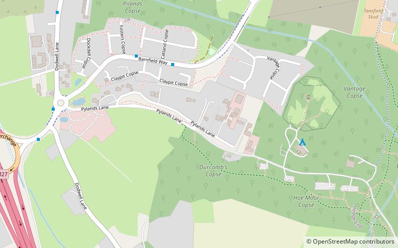
River Hamble Country Park is a 144.1-hectare Local Nature Reserve which runs along the west bank of the River Hamble between the villages of Botley and Bursledon in Hampshire. It is owned by Hampshire County Council and managed by Hampshire Countryside Service. It is part of Solent and Southampton Water Ramsar site and Special Protection Area, and of Solent Maritime Special Area of Conservation. Part of it is in Upper Hamble Estuary and Woods, which is a Site of Special Scientific Interest. ()
Elevation: 157 ft a.s.l.Coordinates: 50°53'57"N, 1°18'12"W
Day trips
River Hamble Country Park – popular in the area (distance from the attraction)
Nearby attractions include: Netley Common, Bursledon Brickworks, Swanwick Shore Strict Baptist Chapel, Hedge End.
Frequently Asked Questions (FAQ)
When is River Hamble Country Park open?
River Hamble Country Park is open:
- Monday closed
- Tuesday closed
- Wednesday closed
- Thursday closed
- Friday closed
- Saturday 10 am - 4 pm
- Sunday 10 am - 4 pm
How to get to River Hamble Country Park by public transport?
The nearest stations to River Hamble Country Park:
Train
Train
- Bursledon (28 min walk)


