Bath Abbey Cemetery, Bath
Map
Gallery
Facts and practical information
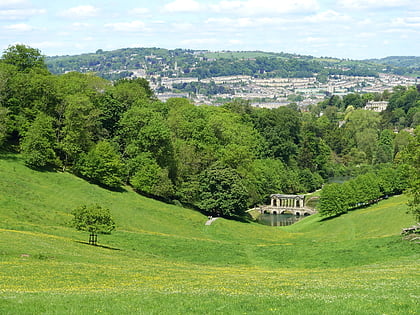
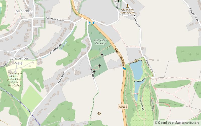
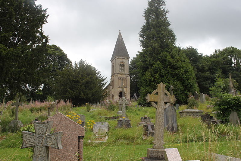
The Anglican Bath Abbey Cemetery, officially dedicated as the Cemetery of St Peter and St Paul, was laid out by noted cemetery designer and landscape architect John Claudius Loudon between 1843 and 1844 on a picturesque hillside site overlooking Bath, Somerset, England. ()
Coordinates: 51°22'12"N, 2°20'53"W
Address
Bath
ContactAdd
Social media
Add
Day trips
Bath Abbey Cemetery – popular in the area (distance from the attraction)
Nearby attractions include: Roman Baths, Bath Abbey, SouthGate, Recreation Ground.
Frequently Asked Questions (FAQ)
Which popular attractions are close to Bath Abbey Cemetery?
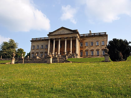
Nearby attractions include Prior Park, Bath (7 min walk), St Thomas à Becket Church, Bath (7 min walk), Buildings and architecture of Bath, Bath (7 min walk), Prior Park, Bath (9 min walk).
How to get to Bath Abbey Cemetery by public transport?
The nearest stations to Bath Abbey Cemetery:
Train
Bus
Train
- Bath Spa (17 min walk)
Bus
- Dorchester St Bh • Lines: 418 (18 min walk)
- Youth Hostel • Lines: 18, 418, U18 (18 min walk)


