Abbey Park, Leicester
Map
Gallery
Facts and practical information
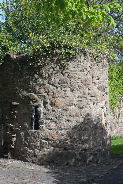
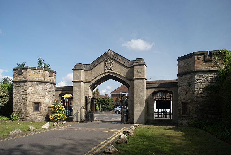
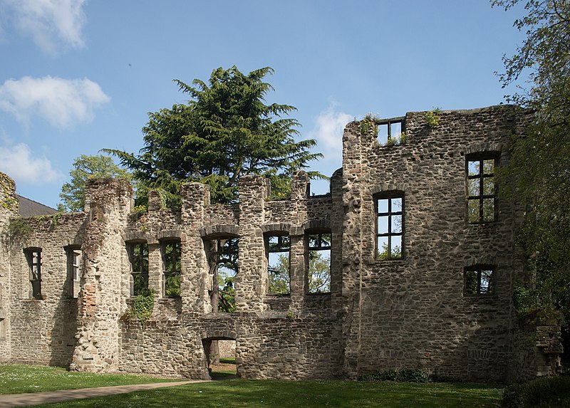
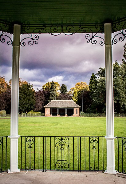
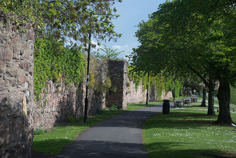
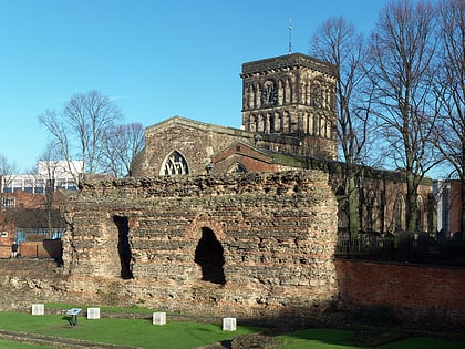
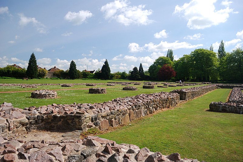
Abbey Park is a public park in Leicester, England, through which the River Soar flows. It is owned and managed by Leicester City Council. It opened in 1882 on the flood plain of the River Soar, and expanded in 1932 to include the area west of the river that had formerly been the medieval St Mary's Abbey, still bounded by large medieval walls. The park includes the archaeological sites of the Abbey and the ruins of Cavendish House, along with a wide range of decorative and recreational parkland features. ()
Day trips
Abbey Park – popular in the area (distance from the attraction)
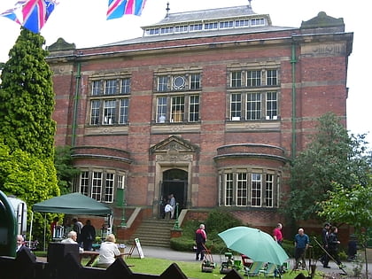
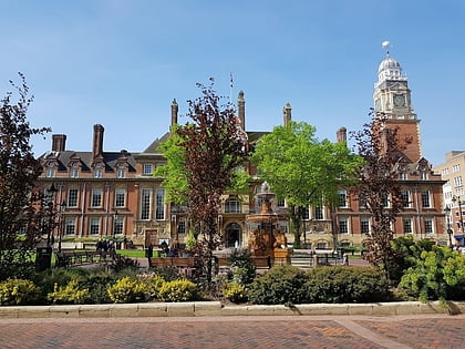
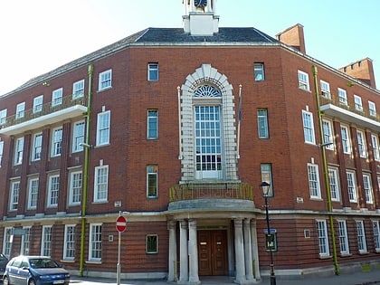
Nearby attractions include: Haymarket Shopping Centre, Leicester Abbey, Highcross Leicester, Leicester Market.
Frequently Asked Questions (FAQ)
Which popular attractions are close to Abbey Park?
Nearby attractions include National Space Centre, Leicester (6 min walk), Leicester Abbey, Leicester (6 min walk), St Mark's Church, Leicester (8 min walk), Peepul Centre, Leicester (13 min walk).
How to get to Abbey Park by public transport?
The nearest stations to Abbey Park:
Bus
Train
Bus
- St Margaret's Bus Station (12 min walk)
- Leicester, St Margaret's Bus Station • Lines: 308 (12 min walk)
Train
- Leicester (28 min walk)


