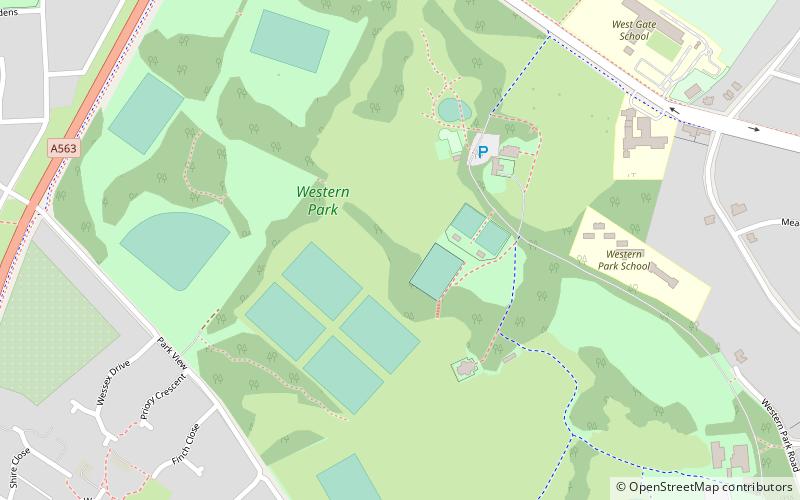
Western Park, Leicester
Map
Facts and practical information
Western Park is a park and surrounding suburb located in West End of Leicester. It is also a ward of the City of Leicester whose population at the 2011 census was 10,609. ()
Elevation: 289 ft a.s.l.Coordinates: 52°38'12"N, 1°10'49"W
Address
Western Park House Western ParkLeicester West (Western Park)Leicester LE3 6HX
Contact
+44 116 454 1003
Social media
Add
Getting there by public transportation
Public transportation stops near this location
- Bus
 Bus
Bus
- Calculate routeBraunstone Leisure Centre 10 min walk
- Calculate routeOutside Frampton Avenue 20 min walk
- Calculate routeMeynells Gorse 29 min walk
Day trips


Frequently Asked Questions (FAQ)
Which popular attractions are close to Western Park?
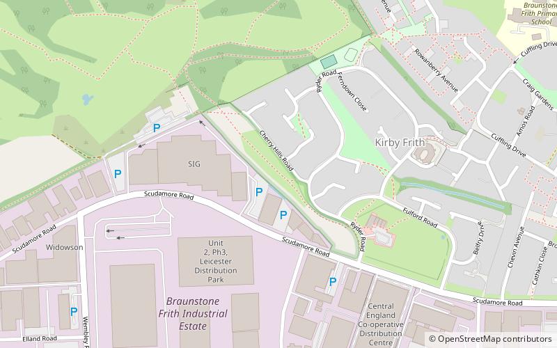
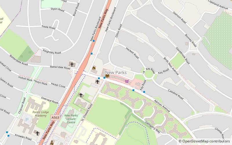
Nearby attractions include New Parks, Leicester (19 min walk), Kirby Frith Nature Reserve, Leicester (24 min walk).
How to get to Western Park by public transport?
The nearest stations to Western Park:
Bus
Bus
- Braunstone Leisure Centre • Lines: 48 (10 min walk)
- Outside Frampton Avenue • Lines: 48 (20 min walk)