Kew Bridge, London
Map
Gallery
Facts and practical information
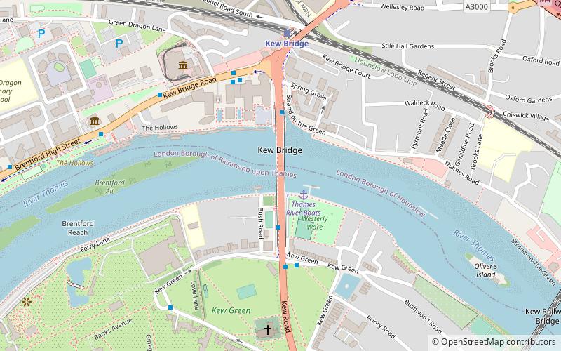
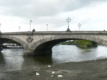
Kew Bridge is a wide-span bridge over the Tideway linking the London Boroughs of Richmond upon Thames and Hounslow. The present bridge, which was opened in 1903 as King Edward VII Bridge by King Edward VII and Queen Alexandra, was designed by John Wolfe-Barry and Cuthbert A Brereton. Historic England listed it at Grade II in 1983. ()
Alternative names: Opened: 1903 (123 years ago)Length: 1182 ftWidth: 75 ftCoordinates: 51°29'12"N, 0°17'15"W
Address
Kew RdRichmond upon Thames (Kew)London
ContactAdd
Social media
Add
Day trips
Kew Bridge – popular in the area (distance from the attraction)
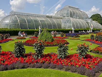
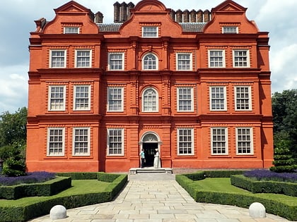
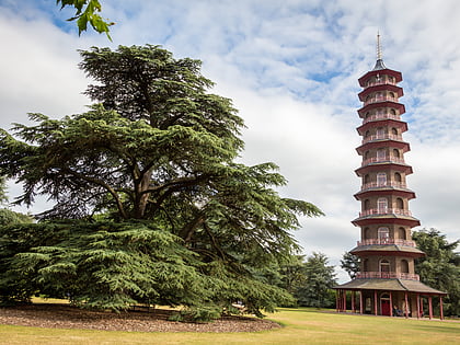
Nearby attractions include: Kew Gardens, Kew Palace, Great Pagoda, Griffin Park.
Frequently Asked Questions (FAQ)
Which popular attractions are close to Kew Bridge?
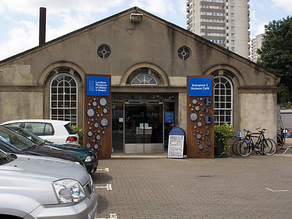
Nearby attractions include Kew Green, London (5 min walk), London Museum of Water & Steam, London (6 min walk), St Anne's Church, London (6 min walk), The Musical Museum, London (7 min walk).
How to get to Kew Bridge by public transport?
The nearest stations to Kew Bridge:
Bus
Train
Metro
Bus
- Kew Bridge • Lines: 110, 65, N65 (1 min walk)
- Kew Green • Lines: 110, 65, N65 (4 min walk)
Train
- Kew Bridge (5 min walk)
- Chiswick (24 min walk)
Metro
- Gunnersbury • Lines: District (16 min walk)
- Kew Gardens • Lines: District (18 min walk)
 Tube
Tube