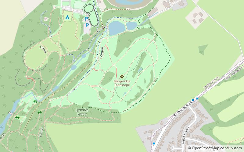
Baggeridge Country Park, Dudley
Map

Map

Facts and practical information
Baggeridge Country Park is located within the South Staffordshire district of Staffordshire, England. Its entrance is on the A463 just west of Gospel End, a small Staffordshire village just beyond the borders of the Wolverhampton, Gornal and the surrounding Metropolitan Borough of Dudley. ()
Elevation: 561 ft a.s.l.Coordinates: 52°31'55"N, 2°8'53"W
Day trips
Baggeridge Country Park – popular in the area (distance from the attraction)
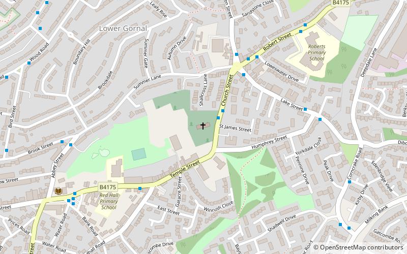
Nearby attractions include: Himley Hall, Alder Coppice, The Crooked House, Church of St James the Great.
Frequently Asked Questions (FAQ)
Which popular attractions are close to Baggeridge Country Park?
Nearby attractions include Straits Estate, Dudley (12 min walk), Cotwall End Valley, Dudley (19 min walk).
How to get to Baggeridge Country Park by public transport?
The nearest stations to Baggeridge Country Park:
Bus
Bus
- Sandyfields Rd / Ruskin Avenue • Lines: 27, 27A (6 min walk)
- Longfellow Rd / Milton Crescent • Lines: 27A (10 min walk)


