Crumpsall Park, Manchester
Map

Gallery

Facts and practical information
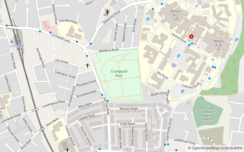
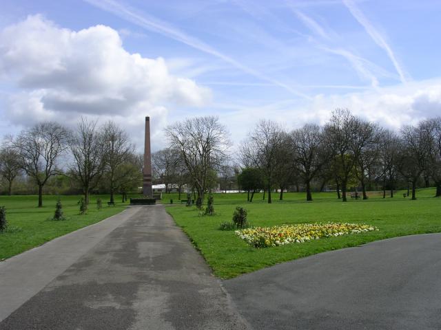
Crumpsall Park is a small municipal park in the Crumpsall ward of Manchester, North West England. ()
Elevation: 253 ft a.s.l.Coordinates: 53°30'57"N, 2°14'1"W
Address
CrumpsallManchester
ContactAdd
Social media
Add
Day trips
Crumpsall Park – popular in the area (distance from the attraction)
Nearby attractions include: Museum of Transport, Church of St Peter, Greek Orthodox Church of the Annunciation, Heaton Park Hebrew Congregation.
Frequently Asked Questions (FAQ)
Which popular attractions are close to Crumpsall Park?
Nearby attractions include Blackley, Manchester (12 min walk), Cheetham Hill Road, Manchester (13 min walk), North Manchester Jamia Mosque, Manchester (14 min walk), Hexagon Tower, Manchester (14 min walk).
How to get to Crumpsall Park by public transport?
The nearest stations to Crumpsall Park:
Bus
Tram
Bus
- North Manchester General Hospital • Lines: 53 (6 min walk)
- Central Drive/NMG Hospital • Lines: 53 (6 min walk)
Tram
- Crumpsall • Lines: Altr, Bury, Picc (9 min walk)
- Abraham Moss • Lines: Altr, Bury, Picc (10 min walk)

 Metrolink
 Metrolink / Rail


