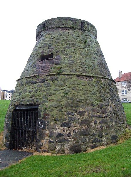
Leith Links, Edinburgh
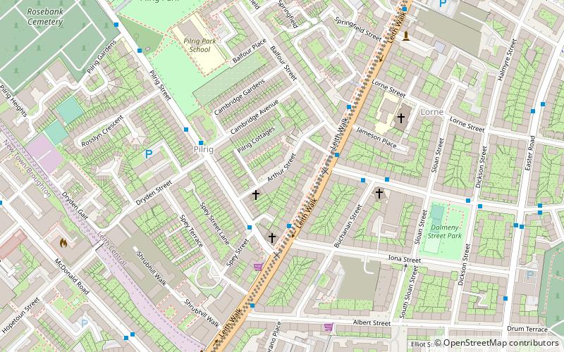
Map

Gallery

Facts and practical information
Leith Links is the principal open space within Leith, the docks district of Edinburgh, Scotland. This public park is divided by a road into two main areas, a western section and an eastern section, both being largely flat expanses of grass bordered by mature trees. Historically it covered a wider area extending north as far as the shoreline of the Firth of Forth. This area of grass and former sand-dunes was previously used as a golf links. ()
Elevation: 43 ft a.s.l.Coordinates: 55°58'15"N, 3°9'52"W
Day trips
Leith Links – popular in the area (distance from the attraction)
Nearby attractions include: Ocean Terminal, Easter Road Stadium, Collective, South Leith Parish Church.
Frequently Asked Questions (FAQ)
Which popular attractions are close to Leith Links?
Nearby attractions include Constitution Street, Edinburgh (6 min walk), St Mary's Star of the Sea Church, Edinburgh (6 min walk), South Leith Parish Church, Edinburgh (7 min walk), Leith Waterworld, Edinburgh (7 min walk).
How to get to Leith Links by public transport?
The nearest stations to Leith Links:
Bus
Tram
Bus
- Somerset Place • Lines: 1, 21 (3 min walk)
- Vanburgh Place • Lines: 1, 21 (4 min walk)
Tram
- St Andrew Square • Lines: Edinburgh Trams Eastbound, Edinburgh Trams Westbound (40 min walk)


