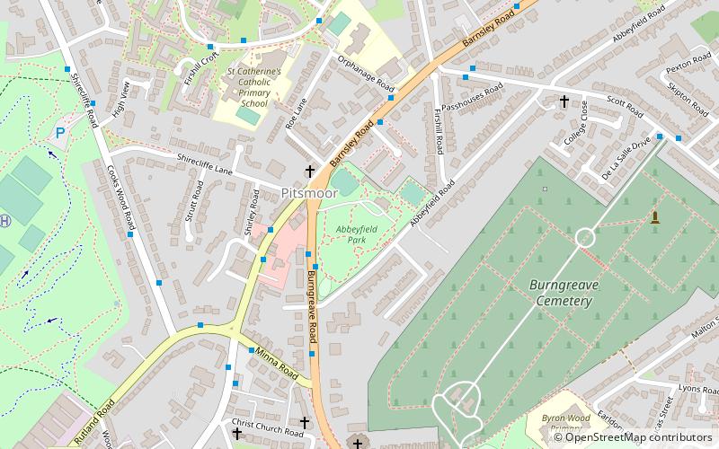
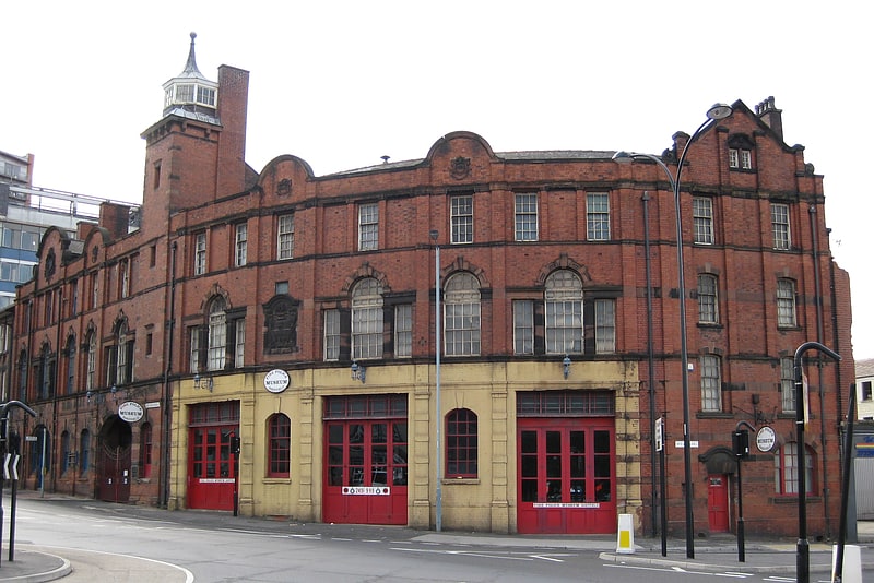
Abbeyfield Park, Sheffield

Gallery (1)
Map
Map
Facts and practical information
Abbeyfield is a park in Pitsmoor, Sheffield, South Yorkshire, England, bought by the City Corporation in 1909. The park comprises the park itself, a bowling green, as well as Abbeyfield House, a former secondary school. Abbeyfield School opened in 1919 and was the first school to be built outside Sheffield city centre as a result of the 1902 Act. The number of pupils was high and the school soon proved to be too small, children being split in numerous classes in several neighbouring churches. Brush House was converted into a school and some classes moved to that location. Abbeyfield House closed in September 1927 and all pupils moved to Brushes, then called Firth Park Secondary School. ()
Created: 1909Elevation: 361 ft a.s.l.Coordinates: 53°24'0"N, 1°27'50"W
Getting there by public transportation
Public transportation stops near this location
- Bus
- Tram
 Bus
Bus
- Calculate routeBurngreave Road/Pitsmoor Road 2 min walk
- Calculate routePitsmoor Road/Pinfold Lane 3 min walk
- Calculate routeBarnsley Road/Firshill Close 3 min walk
- Calculate routeShalesmoor 25 min walk
- Calculate routeInfirmary Road 26 min walk
- Calculate routeLangsett / Primrose View 28 min walk
- Calculate routeFitzalan Square / Ponds Forge 30 min walk
Day trips


Frequently Asked Questions (FAQ)
Which popular attractions are close to Abbeyfield Park?
Nearby attractions include Christ Church, Sheffield (6 min walk), Parkwood Springs MTB trail, Sheffield (10 min walk), Sheffield urban area, Sheffield (13 min walk), Yellow Arch Studios, Sheffield (19 min walk).
How to get to Abbeyfield Park by public transport?
The nearest stations to Abbeyfield Park:
Bus
Tram
Bus
- Burngreave Road/Pitsmoor Road • Lines: 1, 11, 11A, 20, 75, 76, 88 (2 min walk)
- Pitsmoor Road/Pinfold Lane • Lines: 83, 83a (3 min walk)
Tram
- Shalesmoor • Lines: Blue, Yell (25 min walk)
- Infirmary Road • Lines: Blue, Yell (26 min walk)