Broad Street, Birmingham
Map
Gallery

Facts and practical information
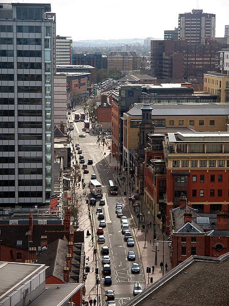
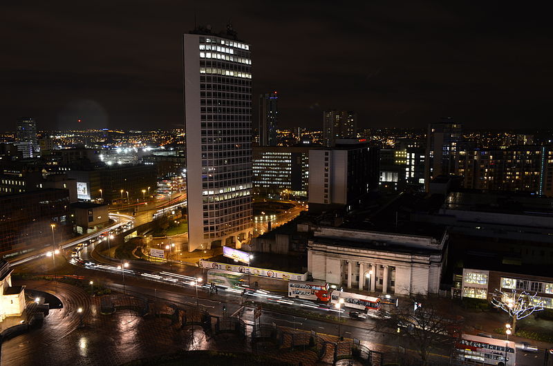
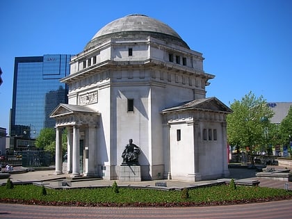
Broad Street is a major thoroughfare and popular nightspot centre in Central Birmingham, England. Traditionally, Broad Street was considered to be outside Birmingham City Centre, but as the city centre expanded with the removal of the Inner Ring Road, Broad Street has been incorporated into the new Westside district of the city centre due to its position within the A4540 road. ()
Coordinates: 52°28'40"N, 1°54'40"W
Address
259-262 Broad StreetLadywoodBirmingham B1 2HF
Contact
+44 121 632 4936
Social media
Add
Day trips
Broad Street – popular in the area (distance from the attraction)
Nearby attractions include: Arena Birmingham, National Sea Life Centre, Gas Street Basin, Symphony Hall.
Frequently Asked Questions (FAQ)
Which popular attractions are close to Broad Street?
Nearby attractions include Gas Street Basin, Birmingham (2 min walk), International Convention Centre, Birmingham (2 min walk), Pop World, Birmingham (2 min walk), Symphony Hall, Birmingham (2 min walk).
How to get to Broad Street by public transport?
The nearest stations to Broad Street:
Bus
Tram
Train
Bus
- Cambridge St / International Convention Centre • Lines: X8 (4 min walk)
- Sheepcote St / Crescent Theatre • Lines: X8 (5 min walk)
Tram
- Library • Lines: 1 (4 min walk)
- Town Hall • Lines: 1 (9 min walk)
Train
- Five Ways (12 min walk)
- Birmingham New Street (14 min walk)


