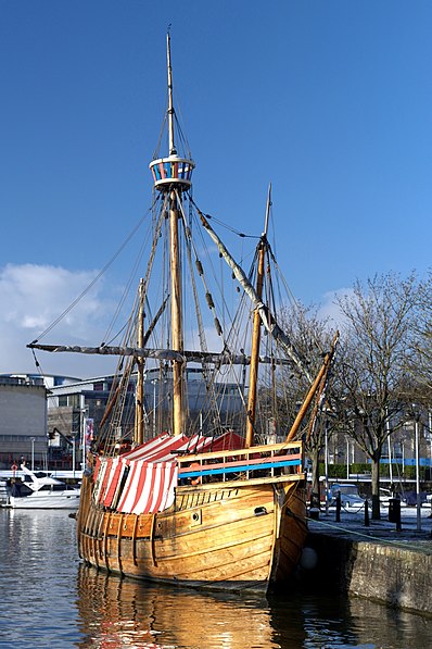
Matthew Ship, Bristol
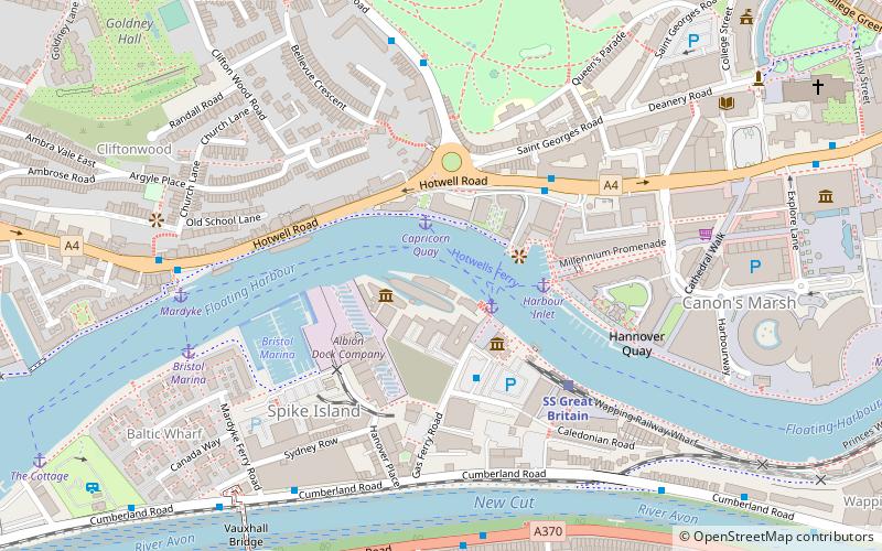
Map
Gallery
Facts and practical information
Coordinates: 51°26'58"N, 2°36'29"W
Day trips
Matthew Ship – popular in the area (distance from the attraction)
Nearby attractions include: Arnolfini, Bristol Cathedral, SS Great Britain, Cabot Tower.
Frequently Asked Questions (FAQ)
Which popular attractions are close to Matthew Ship?
Nearby attractions include SS Great Britain, Bristol (1 min walk), Bristol Marina, Bristol (1 min walk), Jacobs Wells Baths, Bristol (4 min walk), Spike Island, Bristol (4 min walk).
How to get to Matthew Ship by public transport?
The nearest stations to Matthew Ship:
Ferry
Train
Bus
Ferry
- Capricorn Quay (2 min walk)
- SS Great Britain • Lines: Cross-Harbour, Hotwells-Centre (2 min walk)
Train
- SS Great Britain (4 min walk)
- Princes Wharf (12 min walk)
Bus
- SS Great Britain • Lines: m2 (7 min walk)
- Anchor Road • Lines: 902, 903, Falcon (9 min walk)


