Wetherby Ings, Leeds
Map

Map

Facts and practical information
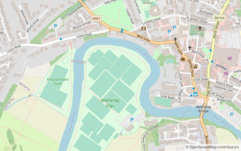
Wetherby Ings are water meadows, by the River Wharfe now used as parkland in Wetherby, West Yorkshire, England. The ings on the north and south bank are used as parkland and for sports grounds for the town's football and rugby league teams. The area is liable to flooding during heavy rain and the river has broken its banks frequently. ()
Elevation: 62 ft a.s.l.Coordinates: 53°55'41"N, 1°23'31"W
Address
WetherbyLeeds
ContactAdd
Social media
Add
Day trips
Wetherby Ings – popular in the area (distance from the attraction)
Nearby attractions include: Wetherby Racecourse, Black Bull, Wetherby Bridge, Wetherby Methodist Church.
Frequently Asked Questions (FAQ)
Which popular attractions are close to Wetherby Ings?
Nearby attractions include Wetherby Methodist Church, Wetherby (6 min walk), Black Bull, Leeds (6 min walk), St James Church, Leeds (7 min walk), Wetherby Bridge, Leeds (8 min walk).
How to get to Wetherby Ings by public transport?
The nearest stations to Wetherby Ings:
Bus
Bus
- Stand A Wetherby Bus Station • Lines: 875 (6 min walk)
- Wetherby (6 min walk)


