Whitewell Road, Belfast
Map

Map

Facts and practical information
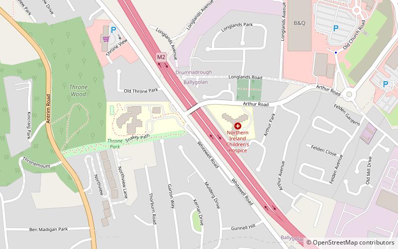
The Whitewell Road is an interface area in north Belfast and Newtownabbey, Northern Ireland, and historically the site of occasional clashes between nationalists and loyalists. The Whitewell Road and the surrounding area is a residential community in the Greencastle parish. The Whitewell area is considered a working class area. For much of its length the Whitewell Road runs parallel to the M2 and also provides a direct link between the A2 and the A6. ()
Coordinates: 54°39'14"N, 5°55'48"W
Address
BellevueBelfast
ContactAdd
Social media
Add
Day trips
Whitewell Road – popular in the area (distance from the attraction)
Nearby attractions include: Belfast Zoo, Belfast Castle, Cavehill, Whitewell Metropolitan Tabernacle.
Frequently Asked Questions (FAQ)
Which popular attractions are close to Whitewell Road?
Nearby attractions include Belfast Zoo, Belfast (15 min walk), Merville Garden Village, Newtownabbey (17 min walk), Whitewell Metropolitan Tabernacle, Belfast (24 min walk), Belfast Castle, Belfast (24 min walk).


