The Wicker, Sheffield
Map

Map

Facts and practical information
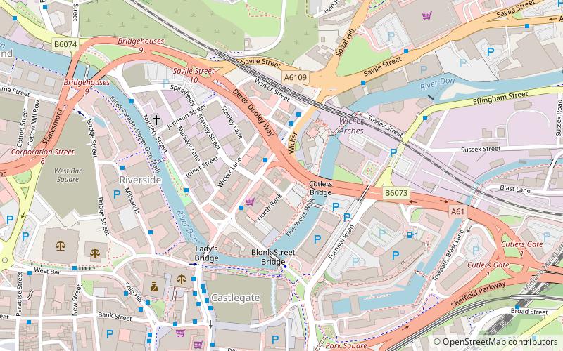
The Wicker is an arterial street in Sheffield, England noted for its history and viaduct that crosses it, the Grade II* listed Wicker Arches. It runs in a north-east to south-westerly direction between Lady's Bridge and the Wicker Arches. For many years the Wicker was an A road, but it has been downgraded following the opening of the Sheffield Northern Relief Road. ()
Coordinates: 53°23'13"N, 1°27'43"W
Address
Central SheffieldSheffield
ContactAdd
Social media
Add
Day trips
The Wicker – popular in the area (distance from the attraction)
Nearby attractions include: National Emergency Services Museum, Ponds Forge, Kelham Island Tavern, Sheffield Cathedral.
Frequently Asked Questions (FAQ)
Which popular attractions are close to The Wicker?
Nearby attractions include Wicker Arches, Sheffield (3 min walk), Cobweb Bridge, Sheffield (3 min walk), Lady's Bridge, Sheffield (4 min walk), Riverside Quarter, Sheffield (5 min walk).
How to get to The Wicker by public transport?
The nearest stations to The Wicker:
Bus
Tram
Train
Bus
- Wicker WK1 • Lines: 208, 65, X1, X17 (1 min walk)
- Wicker WK2 • Lines: 1, 11, 11A, 20, 208, 5, 65, 75, 76, 88, 97, 98, X1, X17 (2 min walk)
Tram
- Fitzalan Square / Ponds Forge • Lines: Blue, Purp, Tt, Yell (7 min walk)
- Castle Square • Lines: Blue, Purp, Tt, Yell (9 min walk)
Train
- Sheffield (16 min walk)


