Wollaton, Nottingham
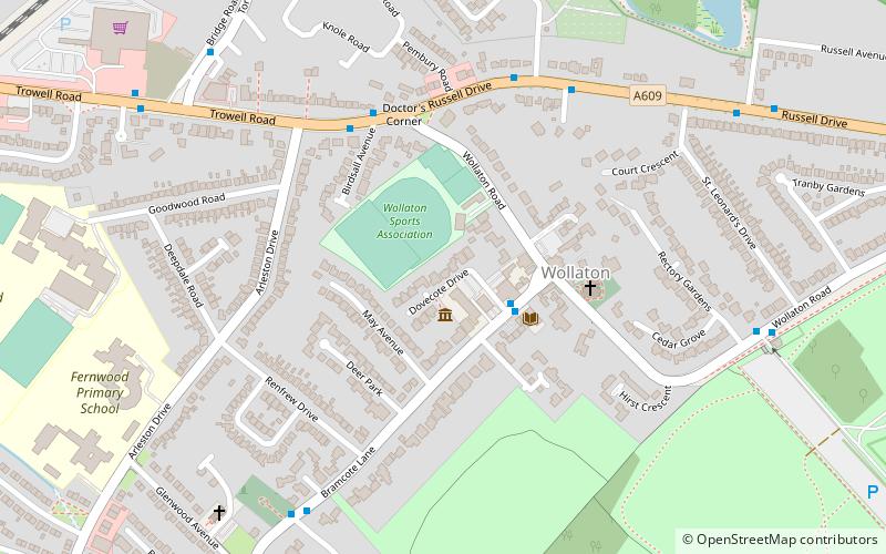
Map
Facts and practical information
Wollaton is a suburb and former parish in the western part of Nottingham, England. Wollaton has two Wards in the City of Nottingham with a total population as at the 2011 census of 24,693. It is home to Wollaton Hall with its museum, deer park, lake, walks and golf course. ()
Coordinates: 52°57'11"N, 1°13'23"W
Address
Wollaton WestNottingham
ContactAdd
Social media
Add
Getting there by public transportation
Public transportation stops near this location
- Bus
 Bus
Bus
- Calculate routeAdmiral Rodney 2 min walk
- Calculate routeBirdsall Avenue 4 min walk
- Calculate routeThornton Close 5 min walk
- Calculate routeParkside 6 min walk
Day trips


Frequently Asked Questions (FAQ)
Which popular attractions are close to Wollaton?
Nearby attractions include St Leonard's Church, Nottingham (4 min walk), Nottingham Industrial Museum, Nottingham (15 min walk), Wollaton Hall, Nottingham (17 min walk), Wollaton Park, Nottingham (17 min walk).
How to get to Wollaton by public transport?
The nearest stations to Wollaton:
Bus
Bus
- Admiral Rodney • Lines: 30, L10 (2 min walk)
- Birdsall Avenue • Lines: Bus The Two, L10, L2, Two, W3 (4 min walk)