Woodhouse Ridge, Leeds
Map

Map

Facts and practical information
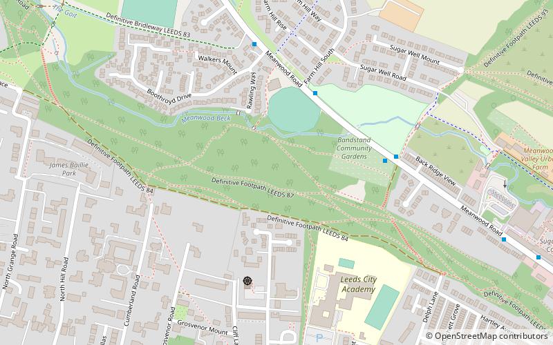
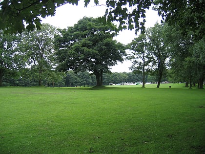
Woodhouse Ridge is a strip of woodland on the South West hillside of the Meanwood valley in urban area of Leeds, West Yorkshire, England. Locally known as 'The Ridge', the area is notable as a significant area of mature woodland in an otherwise highly developed urban area. The woods are centred at grid reference 53.820061,-1.560144 and are enclosed by Meanwood Road to the east and by Headingley to the north and Woodhouse, Leeds to the South. ()
Coordinates: 53°49'12"N, 1°33'37"W
Day trips
Woodhouse Ridge – popular in the area (distance from the attraction)
Nearby attractions include: Headingley Carnegie Stadium, Meanwood Valley Trail, Woodhouse Moor, Hyde Park Picture House.
Frequently Asked Questions (FAQ)
Which popular attractions are close to Woodhouse Ridge?
Nearby attractions include Headingley Hill Congregational Church, Leeds (9 min walk), Woodhouse, Leeds (13 min walk), Headingley Castle, Leeds (15 min walk), Memorial to Queen Victoria, Leeds (17 min walk).
How to get to Woodhouse Ridge by public transport?
The nearest stations to Woodhouse Ridge:
Bus
Train
Bus
- Headingley Lane Cumberland Road • Lines: 27, 6, 8, X84 (9 min walk)
- Hyde Park Corner • Lines: 27, 6, 8, 875, X84 (11 min walk)
Train
- Burley Park (24 min walk)


