Worcester and Birmingham Canal, Birmingham
Map

Gallery

Facts and practical information
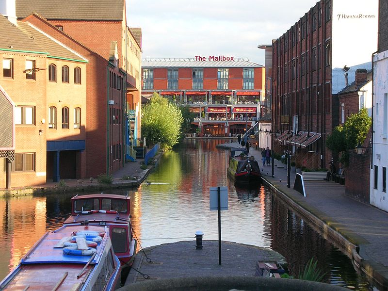
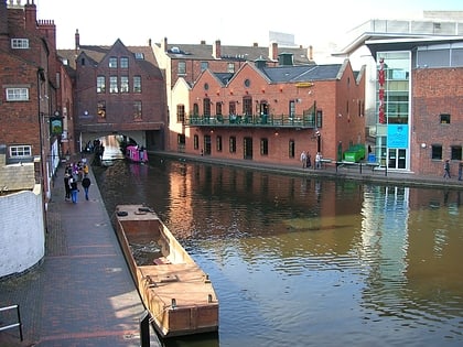
The Worcester and Birmingham Canal is a canal linking Birmingham and Worcester in England. It starts in Worcester, as an 'offshoot' of the River Severn and ends in Gas Street Basin in Birmingham. It is 29 miles long. There are 58 locks in total on the canal, including the 30 Tardebigge Locks, one of the longest lock flights in Europe. The canal climbs 428 feet from Worcester to Birmingham. ()
Coordinates: 52°28'37"N, 1°54'32"W
Address
LadywoodBirmingham
ContactAdd
Social media
Add
Day trips
Worcester and Birmingham Canal – popular in the area (distance from the attraction)
Nearby attractions include: The Mailbox, National Sea Life Centre, Gas Street Basin, Symphony Hall.
Frequently Asked Questions (FAQ)
Which popular attractions are close to Worcester and Birmingham Canal?
Nearby attractions include Gas Street Studios, Birmingham (1 min walk), Gas Retort House, Birmingham (1 min walk), Gas Street Basin, Birmingham (2 min walk), Birmingham Canal Navigations, Birmingham (2 min walk).
How to get to Worcester and Birmingham Canal by public transport?
The nearest stations to Worcester and Birmingham Canal:
Tram
Bus
Train
Tram
- Library • Lines: 1 (4 min walk)
- Town Hall • Lines: 1 (8 min walk)
Bus
- Cambridge St / International Convention Centre • Lines: X8 (6 min walk)
- Sheepcote St / Crescent Theatre • Lines: X8 (8 min walk)
Train
- Five Ways (12 min walk)
- Birmingham New Street (12 min walk)


