Ynys Castell, Menai Bridge
Map

Map

Facts and practical information
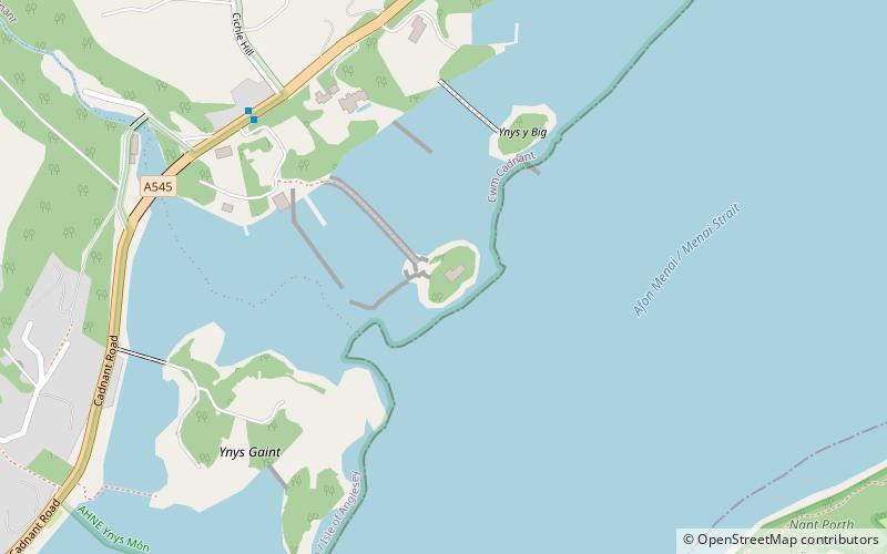
Ynys Castell is a small island in the Menai Strait which separates Anglesey and mainland Wales. It is an extruding piece of Precambrian schist lying to one side of the Afon Cadnant estuary. It lies between Ynys y Bîg and Ynys Gaint. There is a causeway running to the island that is covered at high tide. On the island there is a private house. Ynys Castell means Castle Island in Welsh. ()
Coordinates: 53°13'55"N, 4°9'9"W
Address
Menai Bridge
ContactAdd
Social media
Add
Day trips
Ynys Castell – popular in the area (distance from the attraction)
Nearby attractions include: Menai Suspension Bridge, Bangor Cathedral, St Tysilio's Church, Bangor Mountain.
Frequently Asked Questions (FAQ)
Which popular attractions are close to Ynys Castell?
Nearby attractions include Ynys y Bîg, Menai Bridge (4 min walk), Ynys Gaint, Menai Bridge (5 min walk), Glannau Porthaethwy, Menai Bridge (10 min walk), Oriel Tegfryn, Menai Bridge (11 min walk).
How to get to Ynys Castell by public transport?
The nearest stations to Ynys Castell:
Bus
Train
Bus
- Coleg Menai • Lines: T2 (19 min walk)
- Upper Bangor Leisure Centre • Lines: T2 (19 min walk)
Train
- Bangor (24 min walk)


