An t-Iasgair

Gallery (2)
Map

Map
Gallery
Facts and practical information
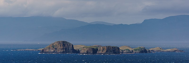
An t-Iasgair is a skerry in the Little Minch, to the north of the Trotternish peninsula of Skye. It lies 1.5 miles north north west of Ru Bornesketaig and is marked by a navigation light. It is the largest and highest in a group of three rocks, with smaller neighbours of Sgeir nan Ruideag and An Dubh Sgeir. ()
Coordinates: 57°41'6"N, 6°25'58"W
Location
Scotland
ContactAdd
Social media
Add
Day trips


