Bowerchalke

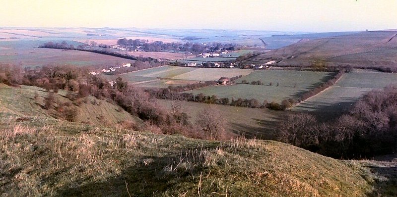
Gallery (2)
Map
Map
Gallery
Facts and practical information
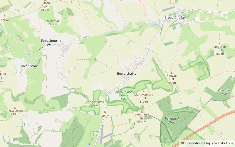
Bowerchalke is a village and civil parish in Wiltshire, England, about 9 miles southwest of Salisbury. It is in the south of the county, about 1 mile from the boundary with Dorset and 2 miles from that with Hampshire. The parish includes the hamlets of Mead End, Misselfore and Woodminton. ()
Location
England
ContactAdd
Social media
Add
Day trips


