Portbury Ashlands
Map

Map

Facts and practical information
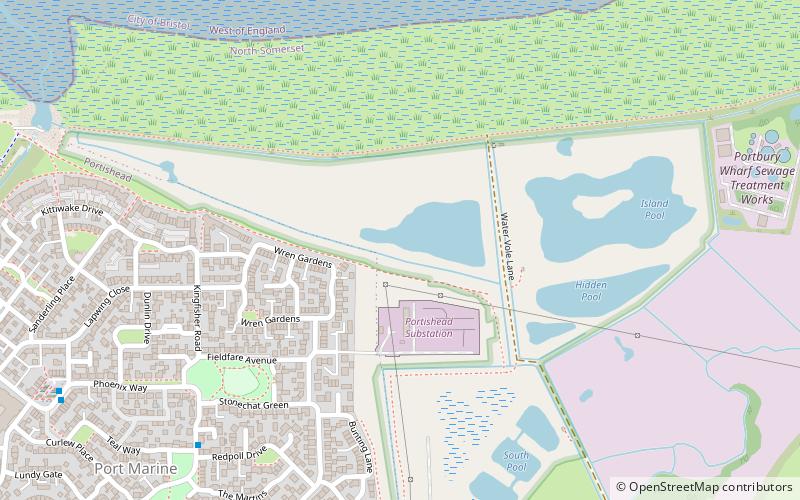
Portbury Ashlands which is now known as Portbury Wharf Nature Reserve is a nature reserve between Portishead and the Royal Portbury Dock in Somerset, England. It was formed from the redevelopment of the area of Portishead formerly occupied by two power stations. To the east of the harbour, an area known as "the Ashlands" was used for over 50 years to get rid of power station waste which was dumped into lagoons on the site. ()
Coordinates: 51°29'24"N, 2°44'44"W
Location
England
ContactAdd
Social media
Add
Day trips
Portbury Ashlands – popular in the area (distance from the attraction)
Nearby attractions include: Church of St Peter, Royal Portbury Dock, Portishead Point lighthouse, St Mary's Church.


