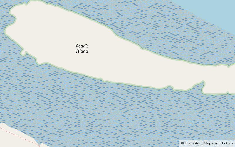
Read's Island
Map

Map

Facts and practical information
Read's Island is an island situated just outside the Ancholme sluice, on the Humber Estuary in England. The Lincolnshire Trust suggest it is an artificial island, and a report from 1979 says that it was reclaimed. However, the site was for many years a large sandbank going by the name of "Old Warp" and is shown on the 1734 Customs Map of the Humber where Read's Island now lays, and extending further downstream. ()
Coordinates: 53°40'57"N, 0°32'34"W
Location
England
ContactAdd
Social media
Add
Day trips
Read's Island – popular in the area (distance from the attraction)
Nearby attractions include: Normanby Hall, Humber Bridge, St Peter's Church, Yorkshire Wolds Way.


