Strensall

Gallery (1)
Map
Map
Facts and practical information
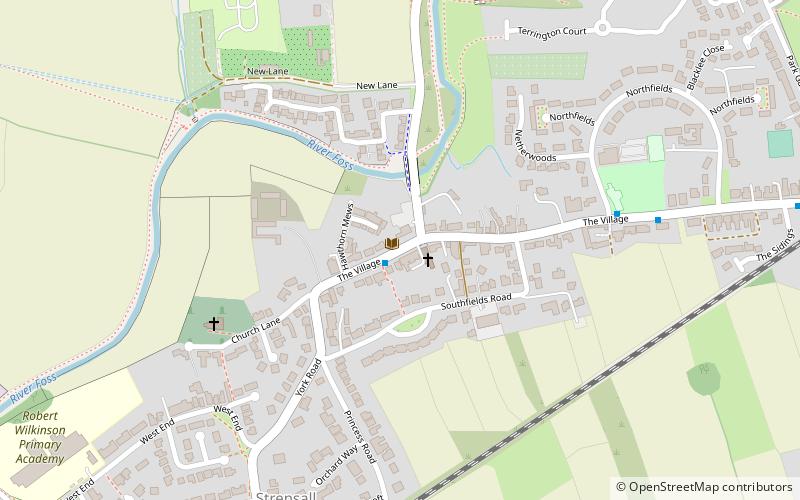
Strensall is a village and civil parish in the unitary authority of the City of York in North Yorkshire, England, on the River Foss north of York and north-east of Haxby. From the 2011 Census the civil parish was called Strensall with Towthorpe and had a population of 6,047. It covers an area of 2,908 acres. ()
Location
England
ContactAdd
Social media
Add
Day trips


