Barony of Aiket
#4198 among destinations in the United Kingdom

Facts and practical information
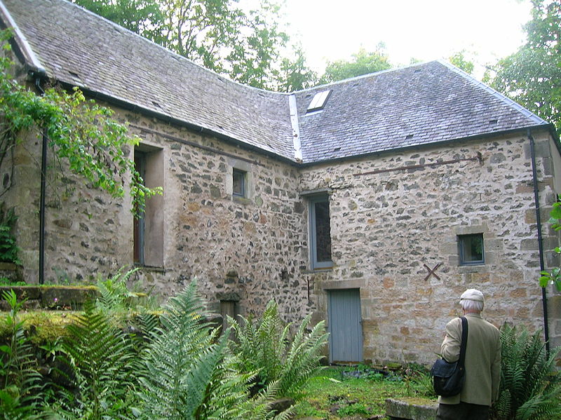
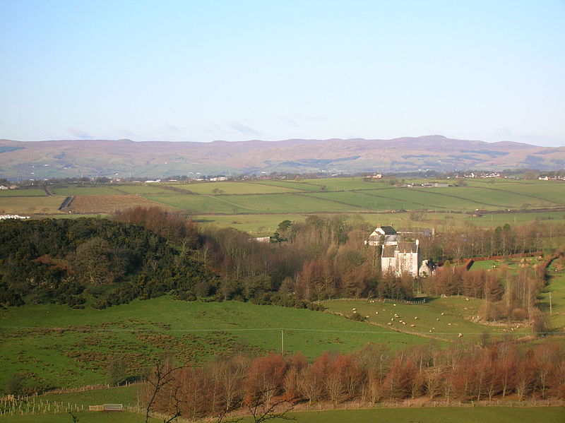
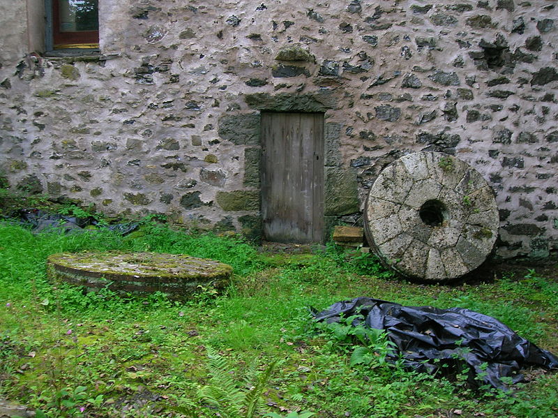
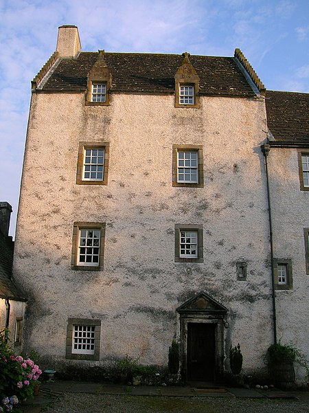
The Barony of Aiket with its castle, lay within the old feudal bailiary of Cunninghame. The barony lands equate to the extant Parish of Dunlop, East Ayrshire, Scotland. ()
ScotlandUnited Kingdom
Barony of Aiket – popular in the area (distance from the attraction)
Nearby attractions include: Lands of Lainshaw, Chapeltoun, Blae Loch, Caldwell.
 Forts and castles
Lands of Lainshaw, Stewarton
66 min walk • The Lands of Lainshaw lie in Strathannick and were part of the Lordship of Stewarton, in East Ayrshire, Scotland. Lainshaw House is a category B listed mansion, lying in a prominent position above the Annick Water and its holm in the Parish of Stewarton, Scotland.
 Archaeological site
Chapeltoun
72 min walk • Chapeltoun is an estate on the banks of the Annick Water in East Ayrshire, Scotland. This is a rural area famous for its milk and cheese production and the Ayrshire or Dunlop breed of cattle.
 Nature, Natural attraction, Lake
Blae Loch
73 min walk • The Blae Loch is a small freshwater loch situated in a hollow in a low-lying area beneath Blaelochhead Hill in the Parish of Beith, North Ayrshire, Scotland.
 Forts and castles
Caldwell
96 min walk • Caldwell is a mansion and old estate with the remains of a castle nearby. These lands lie close to the Lugton Water and the villages of Uplawmoor in East Renfrewshire and Lugton in East Ayrshire.
 Forts and castles
Montgreenan
91 min walk • Montgreenan is an estate in North Ayrshire, Parish of Kilwinning, Scotland. The Lugton Water runs through the policies and farmland of Montgreenan. Nearby are the hamlets of Torranyard and Auchentiber.
 Village, Forts and castles
Dunlop
29 min walk • Dunlop is a village and parish in East Ayrshire, Scotland. It lies on the A735, north-east of Stewarton, seven miles from Kilmarnock. The road runs on to Lugton and the B706 enters the village from Beith and Burnhouse.
 Forts and castles
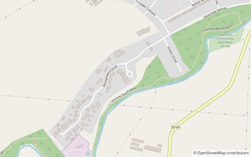
Lainshaw Castle, Stewarton
66 min walk • Lainshaw Castle was a 15th century castle about 1.0 mile south-west of Stewarton, East Ayrshire, Scotland, to the north of Annick Water. The castle was incorporated into Lainshaw House over the course of the 17th and 18th centuries.
 Forts and castles, Vernacular architecture
Barony and Castle of Corsehill, Stewarton
58 min walk • The old Barony and castle of Corsehill lay within the feudal Baillerie of Cunninghame, near Stewarton, now East Ayrshire, Scotland.
 Archaeological site
The Lands of Roughwood
87 min walk • Roughwood once Ruchwood is a farm, originally a estate, possessing at one time a small tower castle. Roughwood is situated near to the town of Beith in North Ayrshire, Scotland; the lands lay within the old Lordship of Giffen.
 Forts and castles
Hill of Beith Castle, Beith
95 min walk • The old Barony and castle, fortalice, or tower house of Hill of Beith lay in the feudal Regality of Kilwinning, within the Baillerie of Cunninghame, and the Sherrifdom of Ayr, now the Parish of Beith, North Ayrshire, Scotland.
 Archaeological site
Saw pit
64 min walk • A saw pit or sawpit is a pit over which lumber is positioned to be sawed with a long two-handled saw by two people, one standing above the timber and the other below. It was used for producing sawn planks from tree trunks, which could then be cut down into boards, pales, posts, etc.


