Beacons Way, Brecon Beacons
Map

Gallery

Facts and practical information
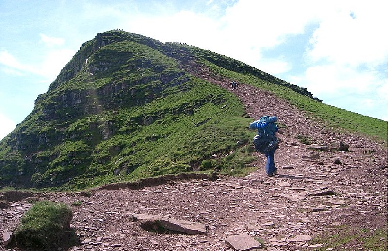
The Beacons Way is a waymarked long distance footpath in the Brecon Beacons National Park, Wales. It is a linear route which runs for 99 miles east to west through the National Park, and passes many of the most important landmarks and mountain peaks in the mountain range. It also includes a few of the towns in the park as well as popular attractions such as Carreg Cennen Castle near Llandeilo at the western end of the path. ()
Length: 99 miCoordinates: 51°50'32"N, 2°58'33"W
Address
Brecon Beacons
ContactAdd
Social media
Add
Day trips
Beacons Way – popular in the area (distance from the attraction)
Nearby attractions include: Abergavenny Castle, Abergavenny Town Hall, Ysgyryd Fawr, Abergavenny Museum.


