Blackwater Valley Path, Aldershot
Map

Map

Facts and practical information
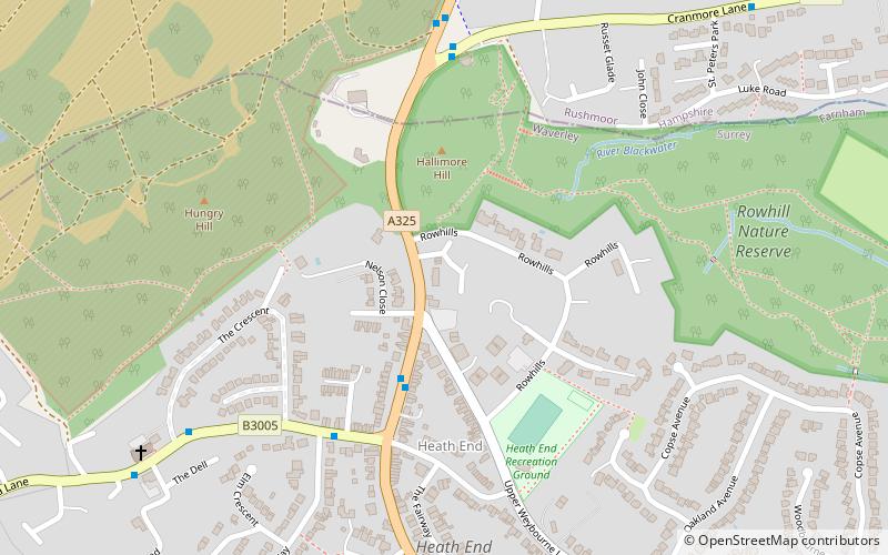
The Blackwater Valley Path follows the River Blackwater from its source in the Rowhill Nature Reserve in Aldershot to just beyond the point where it joins the River Whitewater near Swallowfield to become the Broadwater. This long-distance route covers 23 miles and closely follows the River Blackwater using public rights-of-way as well as permissive footpaths and is waymarked. It is looked after by the Blackwater Valley Countryside Partnership. ()
Length: 23 miCoordinates: 51°14'24"N, 0°47'10"W
Address
Farnham (Hale - Heath End)Aldershot
ContactAdd
Social media
Add
Day trips
Blackwater Valley Path – popular in the area (distance from the attraction)
Nearby attractions include: Brickfields Country Park, Royal Garrison Church, Equestrian statue of the Duke of Wellington, Farnham Park.
Frequently Asked Questions (FAQ)
Which popular attractions are close to Blackwater Valley Path?
Nearby attractions include Rowhill Nature Reserve, Aldershot (8 min walk), Upper Hale Cemetery, Farnham (18 min walk), Weybourne LNR, Farnham (22 min walk), Caesar's Camp, Aldershot (22 min walk).
How to get to Blackwater Valley Path by public transport?
The nearest stations to Blackwater Valley Path:
Bus
Train
Bus
- Aldershot Bus Station • Lines: 520, Kite (31 min walk)
- Victoria Road Court House • Lines: 520, Kite (32 min walk)
Train
- Aldershot (31 min walk)


