Bournemouth Coast Path, Bournemouth

Gallery (3)
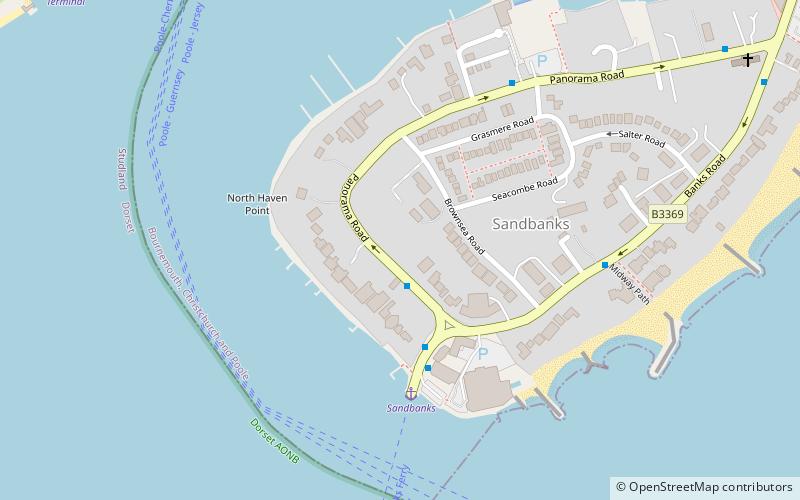
Map
Map
Gallery
Facts and practical information
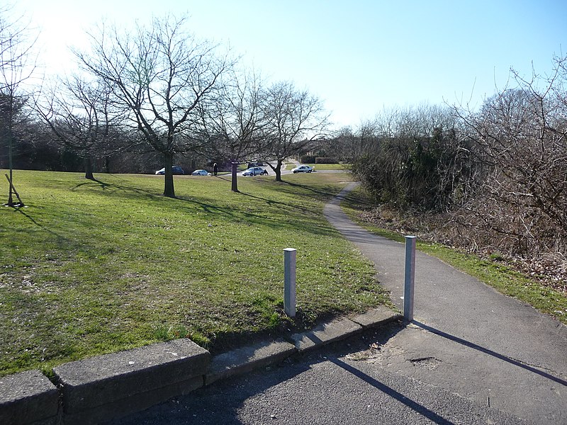
The Bournemouth Coast Path is a 20-mile-long footpath through Dorset and Hampshire, England from Sandbanks to Milford-on-Sea. ()
Coordinates: 50°41'6"N, 1°56'56"W
Address
Canford CliffsBournemouth
ContactAdd
Social media
Add
Getting there by public transportation
Public transportation stops near this location
- Bus
 Bus
Bus
- Calculate routeSandbanks Ferry 2 min walk
- Calculate routeRoyal Motor Yacht Club 5 min walk
- Calculate routeShoreacres 5 min walk
- Calculate routeSt Nicolas Chapel 10 min walk
Day trips


Frequently Asked Questions (FAQ)
Which popular attractions are close to Bournemouth Coast Path?
Nearby attractions include The Royal Motor Yacht Club, Poole (8 min walk), Brownsea Castle, Poole (12 min walk), Sandbanks, Poole (14 min walk).
How to get to Bournemouth Coast Path by public transport?
The nearest stations to Bournemouth Coast Path:
Bus
Bus
- Sandbanks Ferry • Lines: 50, 60 (2 min walk)
- Royal Motor Yacht Club • Lines: 50, 60 (5 min walk)