Burns Howff, Glasgow
Map
Facts and practical information
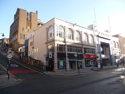
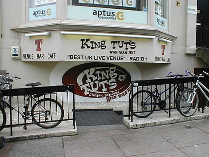
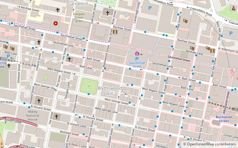
The Burns Howff was a Rock and Blues music venue in Glasgow. It was located at 56 West Regent Street in the city centre and established a reputation as the launch pad for many Scottish musicians. ()
Coordinates: 55°51'50"N, 4°15'40"W
Address
City Centre (Blythswood Hill)Glasgow
ContactAdd
Social media
Add
Day trips
Burns Howff – popular in the area (distance from the attraction)
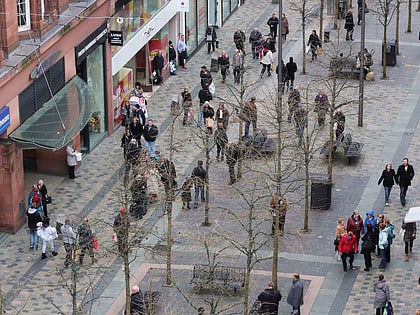
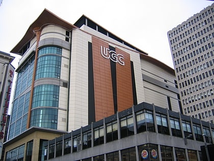
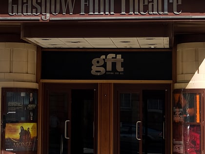
Nearby attractions include: Sauchiehall Street, O2 ABC Glasgow, Glasgow School of Art, Cineworld Glasgow.
Frequently Asked Questions (FAQ)
Which popular attractions are close to Burns Howff?
Nearby attractions include Blythswood Hill, Glasgow (2 min walk), Blythswood Square, Glasgow (3 min walk), Royal Glasgow Institute of the Fine Arts, Glasgow (3 min walk), McLellan Galleries, Glasgow (4 min walk).
How to get to Burns Howff by public transport?
The nearest stations to Burns Howff:
Bus
Metro
Train
Bus
- Bath Street / Sauchiehall Lane • Lines: 3 (1 min walk)
- West George Street / No 208 • Lines: 2 (3 min walk)
Metro
- Cowcaddens • Lines: Subway (7 min walk)
- Buchanan Street • Lines: Subway (8 min walk)
Train
- Charing Cross (9 min walk)
- Glasgow Central (9 min walk)
