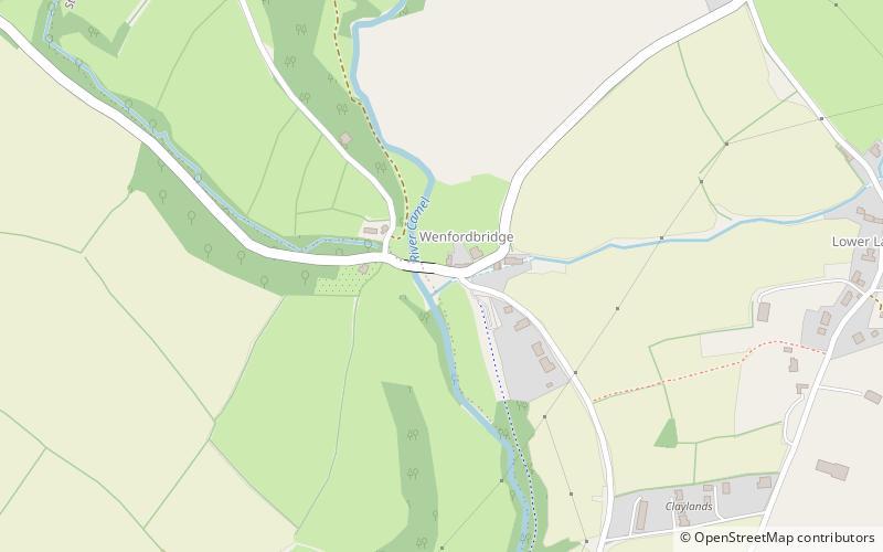
Camel Trail

Gallery (2)
Map
Map
Gallery
Facts and practical information
The Camel Trail is a permissive cycleway in Cornwall, England, United Kingdom, that provides a recreational route for walkers, runners, cyclists and horse riders. The trail is flat; running from Padstow to Wenford Bridge via Wadebridge and Bodmin, it is 17.3 miles long and used by an estimated 400,000 users each year generating an income of approximately £3 million a year. ()
Length: 17.3 miCoordinates: 50°32'41"N, 4°42'14"W
Location
England
ContactAdd
Social media
Add
Day trips


