Cape Wrath Trail
Map

Map

Facts and practical information
Cape Wrath Trail is a hiking route that runs through the Scottish Highlands and along the west coast of Scotland. ()
Length: 205 miSeason: All yearCoordinates: 56°50'40"N, 5°5'48"W
Location
Scotland
ContactAdd
Social media
Add
Day trips
Cape Wrath Trail – popular in the area (distance from the attraction)
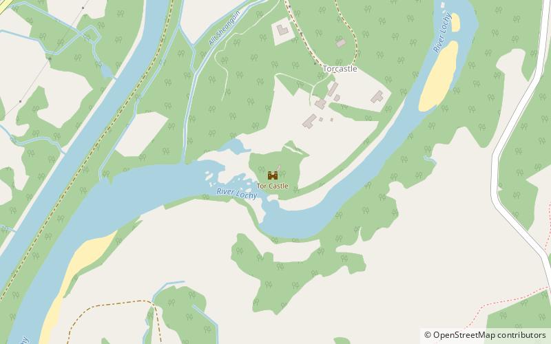
Nearby attractions include: Inverlochy Castle, Tor Castle, Neptune's Staircase, Banavie Railway Swing Bridge.


