Car Dyke
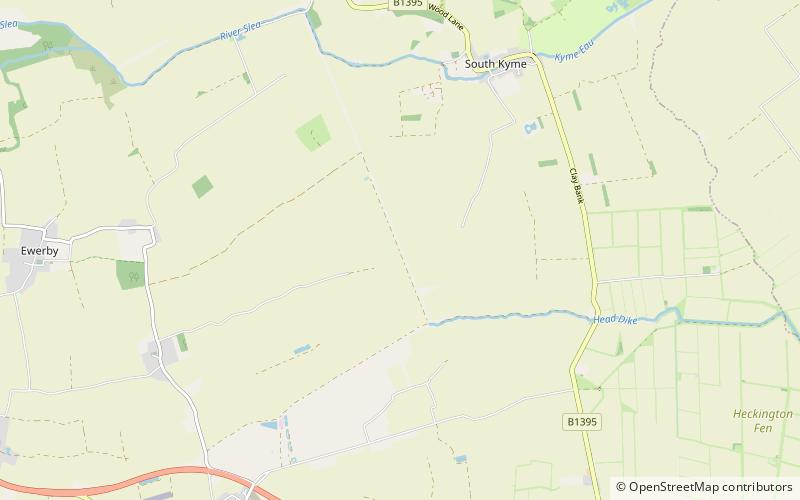
Map

Gallery

Facts and practical information
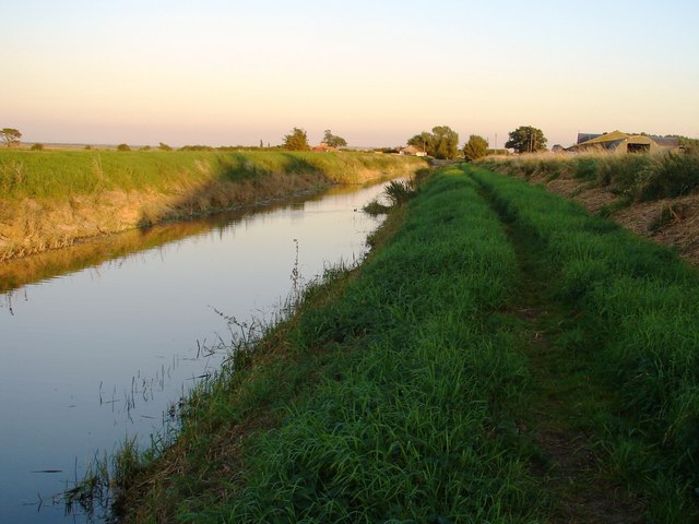
The Car Dyke was, and to a large extent still is, an 85-mile long ditch which runs along the western edge of the Fens in eastern England. It is generally accepted as being of Roman age and, for many centuries, to have been taken as marking the western edge of the Fens. There, the consensus begins to break down. ()
Coordinates: 53°0'44"N, 0°16'4"W
Day trips
Car Dyke – popular in the area (distance from the attraction)
Nearby attractions include: Heckington Windmill, Cogglesford Mill, Heckington Methodist Church, Dogdyke Engine.


