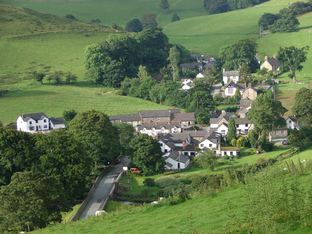
Ceiriog Valley, Chirk

Gallery (3)
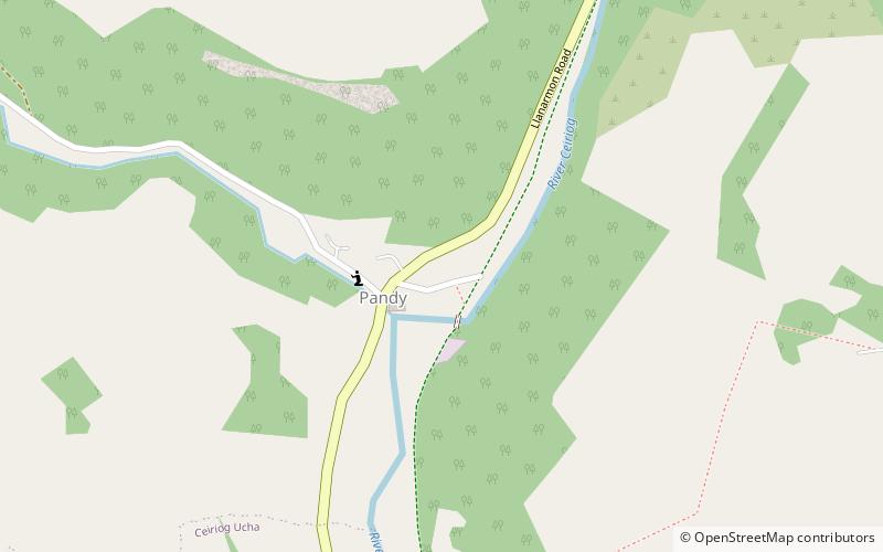
Map
Map
Gallery
Facts and practical information
The Ceiriog Valley is the valley of the River Ceiriog in north-east Wales. It is also the name of a electoral ward of Wrexham County Borough. The ward is the largest ward of the county borough by area and forms a strikingly-shaped salient of the county borough between Powys and Denbighshire. ()
Coordinates: 52°54'54"N, 3°11'49"W
Address
Chirk
ContactAdd
Social media
Add
Day trips