Ceredigion Coast Path, Cardigan
Map
Gallery

Facts and practical information
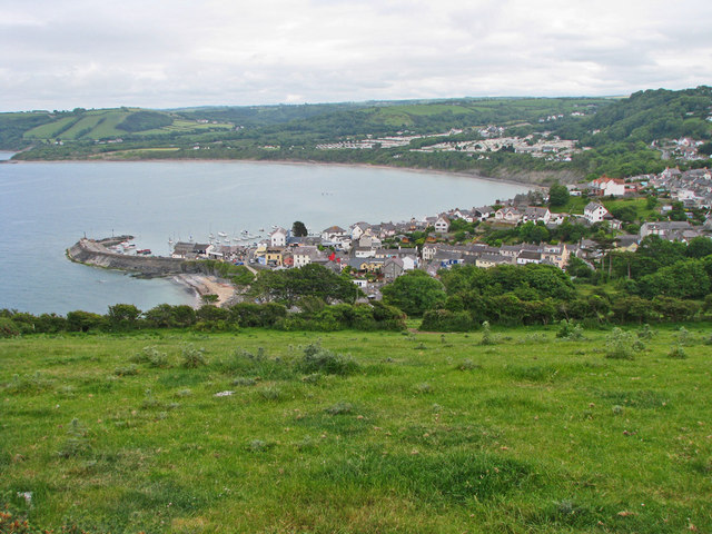
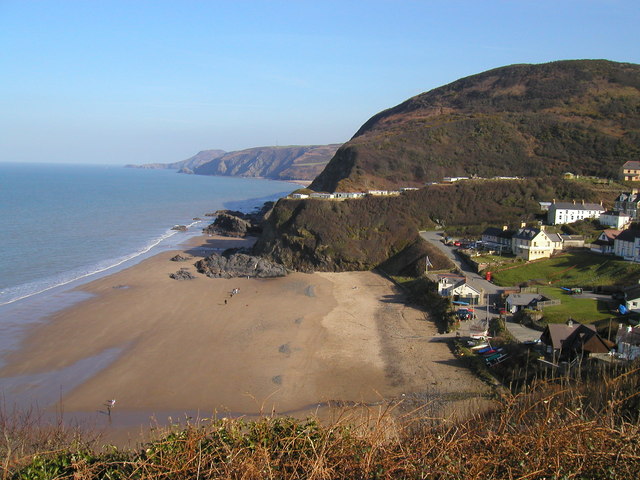
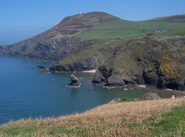
The Ceredigion Coast Path is a waymarked long distance footpath in the United Kingdom, on the coast of Ceredigion, Wales. It is 65 miles in length, running along the coast of Cardigan Bay from Cardigan to Ynyslas . ()
Coordinates: 52°5'3"N, 4°39'28"W
Address
Cardigan
ContactAdd
Social media
Add
Day trips
Ceredigion Coast Path – popular in the area (distance from the attraction)
Nearby attractions include: Pembrokeshire Coast Path, Castle Green House, Cardigan Castle, Cardigan Guildhall Market.
Frequently Asked Questions (FAQ)
Which popular attractions are close to Ceredigion Coast Path?
Nearby attractions include Cardigan Guildhall Market, Cardigan (4 min walk), Castle Green House, Cardigan (6 min walk), Cardigan Priory, Cardigan (6 min walk), Cardigan Castle, Cardigan (7 min walk).


