Middleton, Manchester
Map

Gallery

Facts and practical information
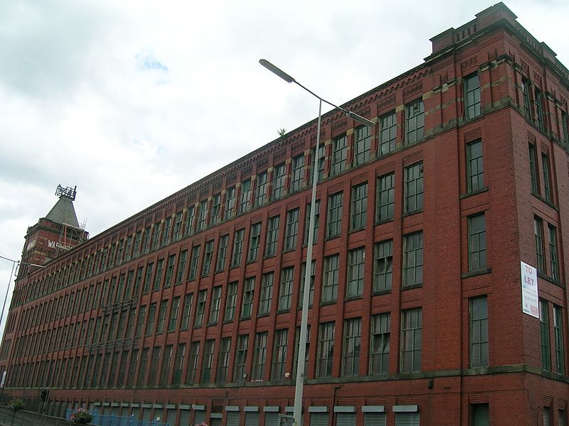
Middleton is a town in the Metropolitan Borough of Rochdale, Greater Manchester, England, on the River Irk 5 miles southwest of Rochdale and 5 miles northeast of Manchester city centre. Middleton had a population of 42,972 at the 2011 Census. It lies on the northern edge of Manchester, with Blackley to the south and Moston to the south east. ()
Address
Middleton SouthManchester
ContactAdd
Social media
Add
Day trips
Middleton – popular in the area (distance from the attraction)
Nearby attractions include: Church of St Leonard, St Michael's Church, Middleton Cemetery, Tonge Hall.
Frequently Asked Questions (FAQ)
Which popular attractions are close to Middleton?
Nearby attractions include Church of St Leonard, Manchester (9 min walk), St Michael's Church, Manchester (11 min walk), Tonge Hall, Manchester (12 min walk).
How to get to Middleton by public transport?
The nearest stations to Middleton:
Bus
Train
Bus
- Middleton Bus Station STAND A • Lines: 17 (4 min walk)
- Middleton Bus Station (4 min walk)
Train
- Mills Hill (30 min walk)

 Metrolink
 Metrolink / Rail


