Coleridge Way, Porlock
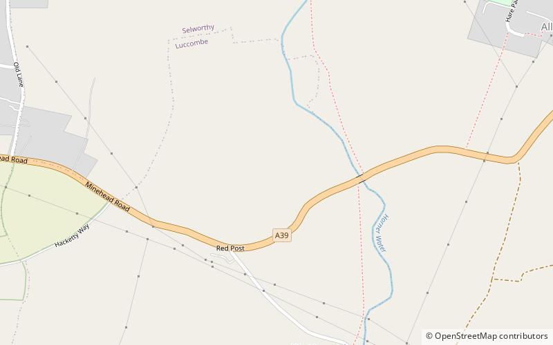
Map

Gallery

Facts and practical information
The Coleridge Way is a 51-mile footpath in Somerset and Devon, England. ()
Length: 51 miCoordinates: 51°12'31"N, 3°34'44"W
Address
Porlock
ContactAdd
Social media
Add
Day trips
Coleridge Way – popular in the area (distance from the attraction)
Nearby attractions include: Scheduled monuments in West Somerset, Church of St Dubricius, Dovery Manor Museum, Lynch Chapel Of Ease.
Frequently Asked Questions (FAQ)
Which popular attractions are close to Coleridge Way?
Nearby attractions include West Somerset Rural Life Museum and Victorian School, Exmoor National Park (12 min walk), Scheduled monuments in West Somerset, Exmoor National Park (16 min walk), Lynch Chapel Of Ease, Exmoor National Park (16 min walk), Dovery Manor Museum, Porlock (16 min walk).


