Cumbria Way, Ulverston
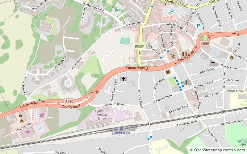
Map
Gallery
Facts and practical information
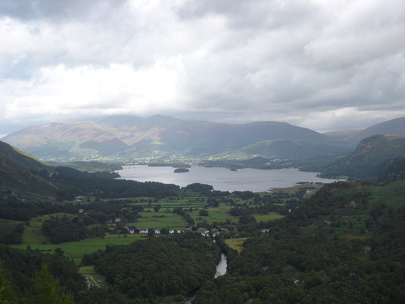
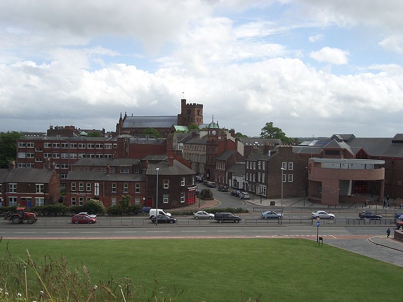
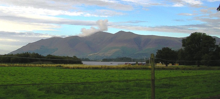
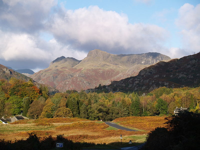
The Cumbria Way is a linear 112-kilometre long-distance footpath in Cumbria, England. The majority of the route is inside the boundaries of the Lake District National Park. Linking the two historic Cumbrian towns of Ulverston and Carlisle, it passes through the towns of Coniston and Keswick. The route cuts through Lakeland country via Coniston Water, Langdale, Borrowdale, Derwent Water, Skiddaw Forest and Caldbeck. It is a primarily low-level route with some high-level exposed sections. ()
Length: 69.59 miMaximum elevation: 2159 ftSeason: All yearCoordinates: 54°11'42"N, 3°5'31"W
Address
Ulverston
ContactAdd
Social media
Add
Day trips
Cumbria Way – popular in the area (distance from the attraction)
Nearby attractions include: Hoad Monument, Ulverston Canal, St Mary's Church, Holy Trinity Church.
Frequently Asked Questions (FAQ)
Which popular attractions are close to Cumbria Way?
Nearby attractions include Holy Trinity Church, Ulverston (7 min walk), St Mary's Church, Ulverston (8 min walk), Hoad Monument, Ulverston (17 min walk), Ulverston Canal, Ulverston (23 min walk).


