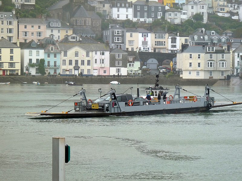
Dartmouth Lower Ferry, Dartmouth
Map
Gallery
Facts and practical information
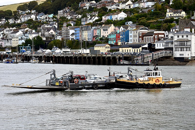
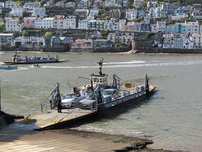
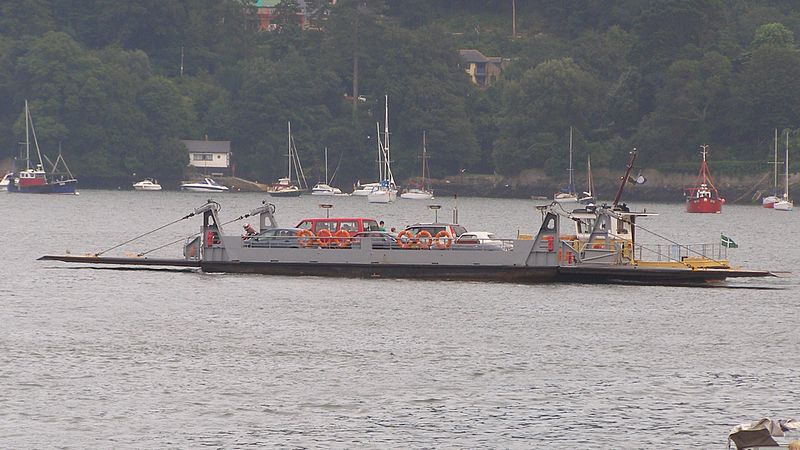
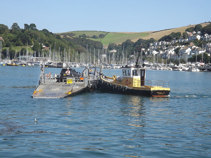
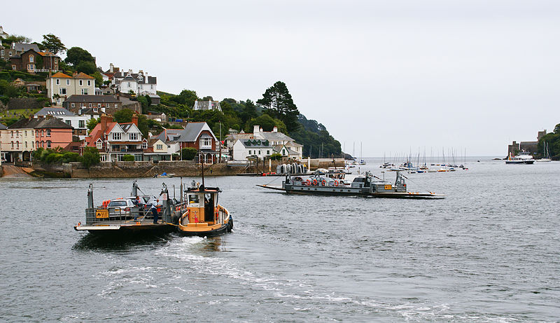
The Dartmouth Lower Ferry is a vehicular and passenger ferry which crosses the River Dart in the English county of Devon. It is one of three ferries that cross the tidal river from Dartmouth to Kingswear, the others being the Higher Ferry and the Passenger Ferry. The 630-mile long South West Coast Path crosses the Dart on either the Lower or Passenger ferries. ()
Coordinates: 50°20'55"N, 3°34'31"W
Address
Dartmouth
ContactAdd
Social media
Add
Day trips
Dartmouth Lower Ferry – popular in the area (distance from the attraction)
Nearby attractions include: Dartmouth Museum, Bayard's Cove Fort, Church of St Thomas of Canterbury, Thomas Newcomen Engine.
Frequently Asked Questions (FAQ)
Which popular attractions are close to Dartmouth Lower Ferry?
Nearby attractions include Bayard's Cove Fort, Dartmouth (3 min walk), Church of St Thomas of Canterbury, Dartmouth (4 min walk), St Saviour's Church, Dartmouth (7 min walk), Dartmouth Harbour, Dartmouth (7 min walk).
How to get to Dartmouth Lower Ferry by public transport?
The nearest stations to Dartmouth Lower Ferry:
Train
Train
- Kingswear (4 min walk)


