Dun Nosebridge, Islay

Gallery (1)
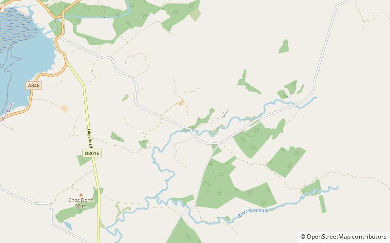
Map
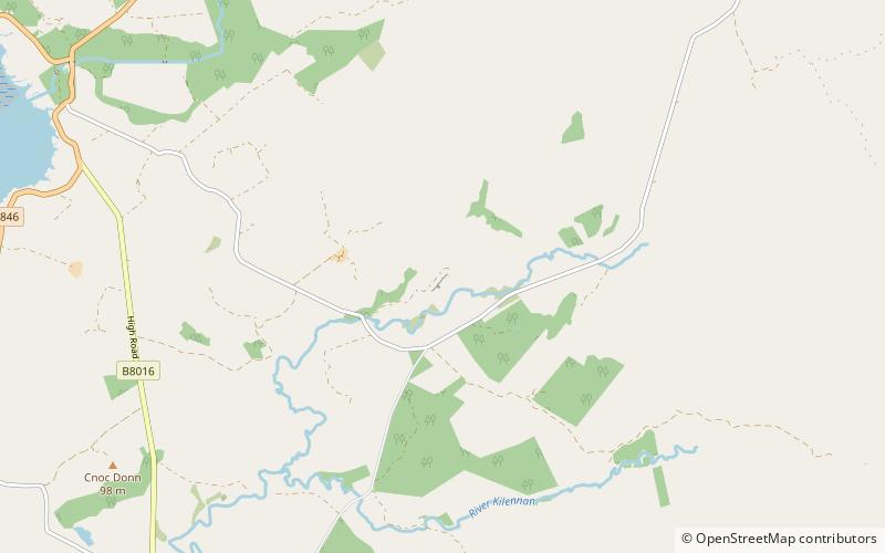
Map
Facts and practical information
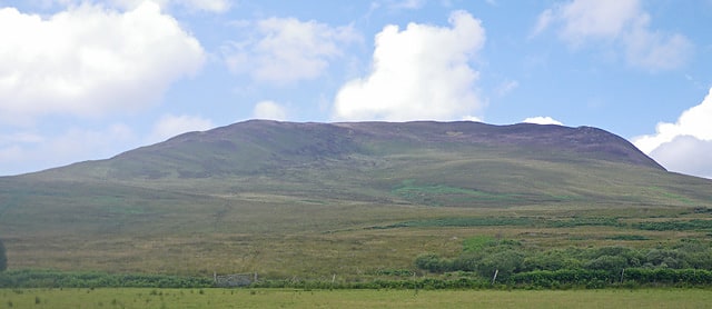
Dun Nosebridge is an Iron Age fort southeast of Bridgend, Islay, Scotland. The fort is located on the right bank of the River Laggan. ()
Coordinates: 55°45'46"N, 6°11'31"W
Address
Islay
ContactAdd
Social media
Add
Day trips