Edinburgh Folk Club, Glasgow
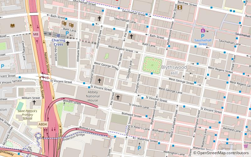
Map
Facts and practical information
Edinburgh Folk Club is the principal folk club within the Scottish capital city, Edinburgh. The club's roots date back to the early seventies where it grew from the British folk revival into one of the most respected and long running clubs in Scotland. ()
Opened: 1973 (53 years ago)Capacity: 150Coordinates: 55°51'47"N, 4°15'54"W
Getting there by public transportation
Public transportation stops near this location
- Metro
- Bus
- Train
 Metro
Metro
- Calculate routeSt. Vincent Street / Douglas Street 2 min walk
- Calculate routeWest George Street / Blythswood Street 2 min walk
- Calculate routeBothwell Street / Blythswood Street 3 min walk
- Calculate routeCharing Cross 6 min walk
- Calculate routeAnderston 8 min walk
- Calculate routeGlasgow Central Low Level 10 min walk
- Calculate routeGlasgow Central 10 min walk
- Calculate routeCowcaddens 11 min walk
- Calculate routeBuchanan Street 12 min walk
- Calculate routeSt Enoch 14 min walk
- Calculate routeSt Georges Cross 15 min walk
Day trips
Edinburgh Folk Club – popular in the area (distance from the attraction)
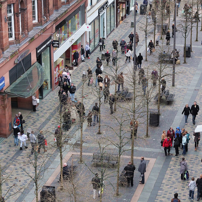
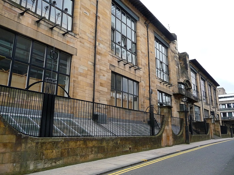
Nearby attractions include: Sauchiehall Street, O2 ABC Glasgow, Glasgow School of Art, Tenement House.


Frequently Asked Questions (FAQ)
Which popular attractions are close to Edinburgh Folk Club?
Nearby attractions include St Columba Church of Scotland, Glasgow (2 min walk), Blythswood Square, Glasgow (3 min walk), Adelaide Place Baptist Church, Glasgow (3 min walk), Royal Glasgow Institute of the Fine Arts, Glasgow (3 min walk).
How to get to Edinburgh Folk Club by public transport?
The nearest stations to Edinburgh Folk Club:
Bus
Train
Metro
Bus
- St. Vincent Street / Douglas Street • Lines: 2 (2 min walk)
- West George Street / Blythswood Street • Lines: 2 (2 min walk)
Train
- Charing Cross (6 min walk)
- Anderston (8 min walk)
Metro
- Cowcaddens • Lines: Subway (11 min walk)
- Buchanan Street • Lines: Subway (12 min walk)