Fen Rivers Way, Cambridge
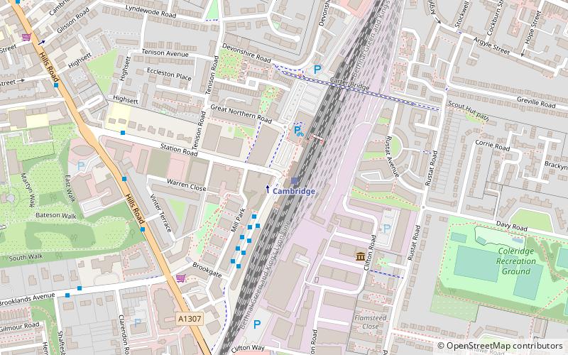
Map

Gallery

Facts and practical information
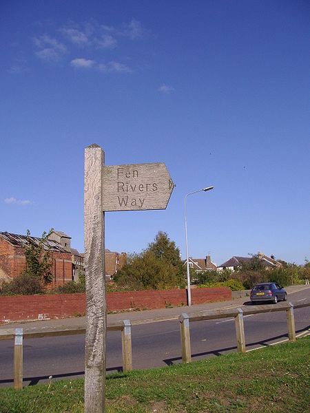
The Fen Rivers Way is a long distance footpath that spans a distance of 50 miles. It runs between the City of Cambridge and the town of King's Lynn in West Norfolk. It follows the course of the River Cam and River Great Ouse across the Fenland landscape into the Wash. It provides a small part of European Long Distance Path E2 which goes from Nice to Galway. ()
Length: 49.71 miCoordinates: 52°11'39"N, 0°8'14"E
Address
PetersfieldCambridge
ContactAdd
Social media
Add
Day trips
Fen Rivers Way – popular in the area (distance from the attraction)
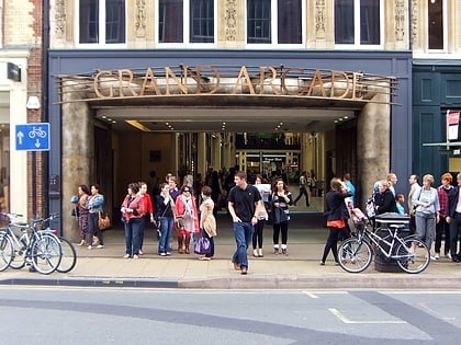
Nearby attractions include: Parker's Piece, Grand Arcade, The Grafton, Cambridge University Botanic Garden.
Frequently Asked Questions (FAQ)
Which popular attractions are close to Fen Rivers Way?
Nearby attractions include Station Road, Cambridge (5 min walk), Cambridge Junction, Cambridge (7 min walk), Cambridge War Memorial, Cambridge (7 min walk), Mill Road, Cambridge (11 min walk).
How to get to Fen Rivers Way by public transport?
The nearest stations to Fen Rivers Way:
Train
Bus
Train
- Cambridge (1 min walk)
Bus
- The Busway Railway Station • Lines: A, B, D, R, U (2 min walk)
- Railway Station • Lines: 7, Citi 1, U (3 min walk)


