Greensand Way
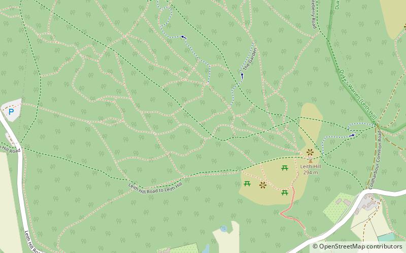
Map

Map

Facts and practical information
The Greensand Way is a long-distance path of 108 miles in southeast England, from Haslemere in Surrey to Hamstreet in Kent. It follows the Greensand Ridge along the Surrey Hills and Chart Hills. The route is mostly rural, passing through woods, and alongside fruit orchards and hop farms in Kent and links with the Stour Valley Walk near Pluckley in Kent. The trail was opened on 15 June 1980 and is jointly managed by Surrey and Kent Councils who fully updated it in 2012. ()
Length: 108.12 miMaximum elevation: 965 ftSeason: All yearCoordinates: 51°10'38"N, 0°22'33"W
Location
England
ContactAdd
Social media
Add
Day trips
Greensand Way – popular in the area (distance from the attraction)
Nearby attractions include: Leith Hill, Leith Hill, Greensand Ridge, Leith Hill Place NT.


