Ham Hill

Gallery (3)
Map
Map
Gallery
Facts and practical information
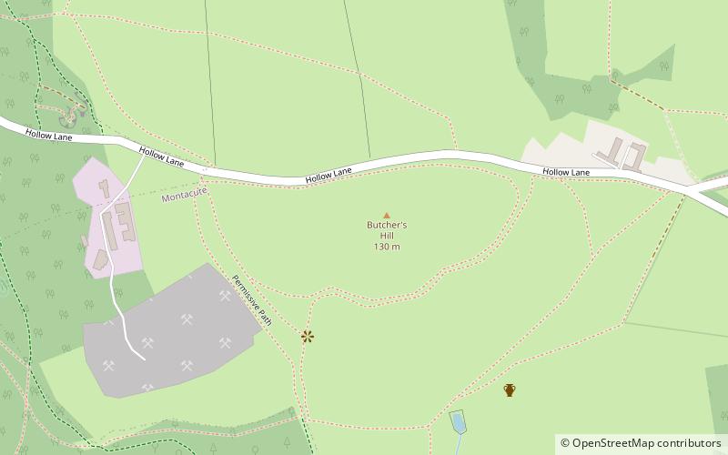
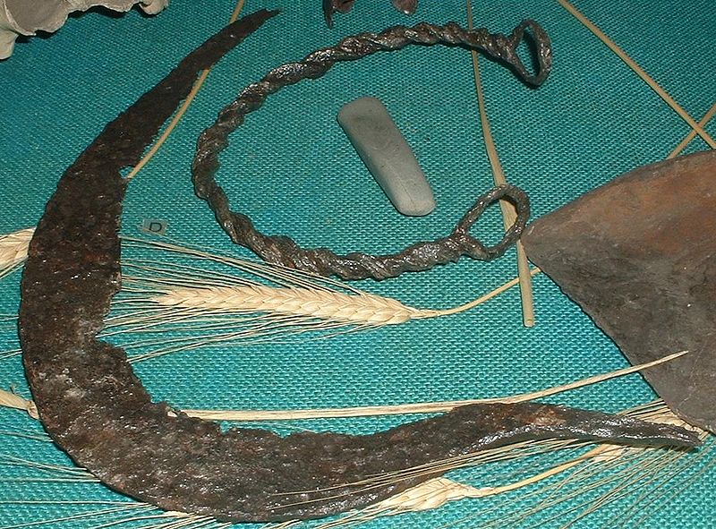
Ham Hill is a geological Site of Special Scientific Interest, Scheduled Ancient Monument, Iron Age hill fort, Roman site, Local Nature Reserve and country park, to the west of Yeovil in Somerset, England. ()
Elevation: 410 ftCoordinates: 50°56'37"N, 2°43'58"W
Location
England
ContactAdd
Social media
Add
Day trips


