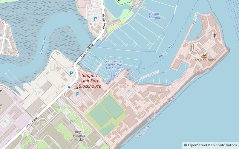
HMS Dolphin, Portsmouth
Map
Facts and practical information
The seventeenth Royal Navy vessel to be named HMS Dolphin was the Royal Naval shore establishment sited at Fort Blockhouse in Gosport. Dolphin was the home of the Royal Navy Submarine Service from 1904 to 1999, and location of the Royal Navy Submarine School. ()
Coordinates: 50°47'19"N, 1°7'11"W
Getting there by public transportation
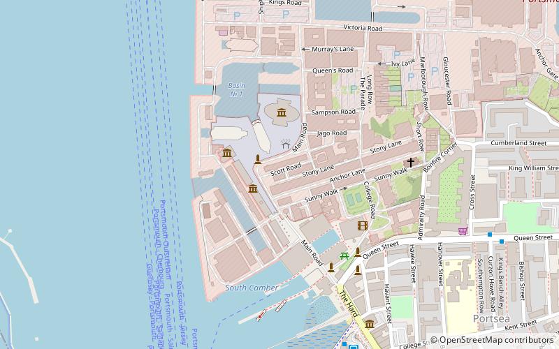
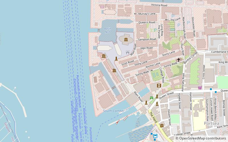
Public transportation stops near this location
- Bus
- Train
- Ferry
 Bus
Bus
- Calculate routeGosport Bus Station 11 min walk
- Calculate routeThe Hard Interchange 22 min walk
- Calculate routeGosport Ferry Terminal 19 min walk
- Calculate routePortsmouth Car Ferry terminal 17 min walk
- Calculate routePortsmouth Harbour 19 min walk
Day trips


Frequently Asked Questions (FAQ)
When is HMS Dolphin open?
HMS Dolphin is open:
- Monday closed
- Tuesday closed
- Wednesday 10 am - 4:30 pm
- Thursday 10 am - 4:30 pm
- Friday 10 am - 4:30 pm
- Saturday 10 am - 4:30 pm
- Sunday 10 am - 4:30 pm
Which popular attractions are close to HMS Dolphin?
Nearby attractions include HMS Alliance, Gosport (1 min walk), Royal Navy Submarine Museum, Portsmouth (3 min walk), Haslar Marina, Portsmouth (6 min walk), Fort Blockhouse, Portsmouth (7 min walk).
How to get to HMS Dolphin by public transport?
The nearest stations to HMS Dolphin:
Bus
Ferry
Train
Bus
- Gosport Bus Station (11 min walk)
- The Hard Interchange (22 min walk)
Ferry
- Gosport Ferry Terminal • Lines: Gosport-Portsmouth Hard (19 min walk)
- Portsmouth Car Ferry terminal • Lines: Portsmouth - Fishbourne (vehicle ferry) (17 min walk)
Train
- Portsmouth Harbour (19 min walk)