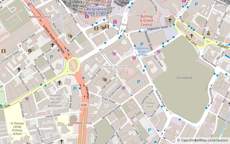
Hurst Street, Birmingham
Map

Map

Facts and practical information
Hurst Street is the main street of the Birmingham Gay Village and is located along the edge of the Chinese Quarter of Birmingham, England. ()
Coordinates: 52°28'29"N, 1°53'50"W
Day trips
Hurst Street – popular in the area (distance from the attraction)
Nearby attractions include: Corporation Street, Bull Ring, The Mailbox, Selfridges.
Frequently Asked Questions (FAQ)
Which popular attractions are close to Hurst Street?
Nearby attractions include Birmingham Back to Backs, Birmingham (1 min walk), Birmingham Hippodrome, Birmingham (1 min walk), Patrick Centre, Birmingham (2 min walk), Chinese Quarter, Birmingham (2 min walk).
How to get to Hurst Street by public transport?
The nearest stations to Hurst Street:
Bus
Train
Tram
Bus
- Ns5 • Lines: 63 (3 min walk)
- Hf1 • Lines: 63 (3 min walk)
Train
- Birmingham New Street (6 min walk)
- Birmingham Moor Street (10 min walk)
Tram
- Grand Central • Lines: 1 (8 min walk)
- Corporation Street • Lines: 1 (10 min walk)


