Iceni Way

Map
Facts and practical information
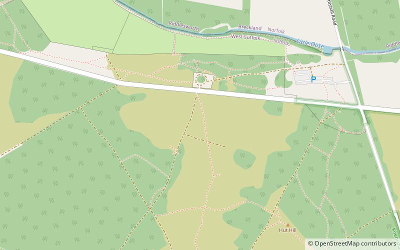
The Iceni Way is a collective name for several long-distance footpaths running from Knettishall Heath to Hunstanton via the Little Ouse and Great Ouse valleys in the English county of Norfolk. There are links with the Fen Rivers Way, Hereward Way, Icknield Way Path, Little Ouse Path and Nar Valley Way. The name comes from the Iceni tribe that once lived in the area. ()
Coordinates: 52°23'17"N, 0°52'1"E
Location
England
ContactAdd
Social media
Add
Day trips
Iceni Way – popular in the area (distance from the attraction)
Nearby attractions include: Snetterton Circuit, Black Horse, Charles Burrell Museum, Thetford Guildhall.


