Inchbuie, Killin
Map
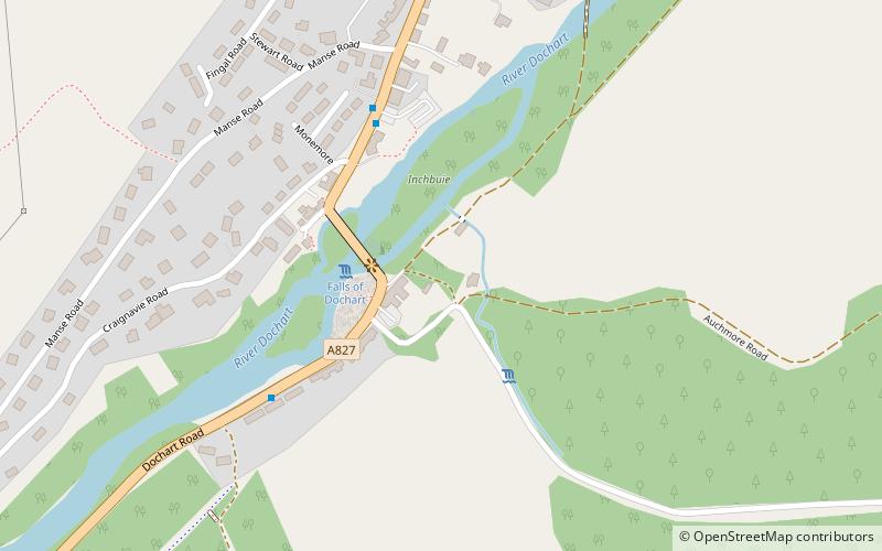
Map

Facts and practical information
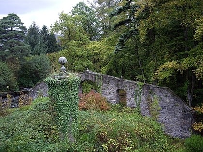
Inchbuie is an island of the River Dochart, near Killin. A bridge links it with both riverbanks, just below the Falls of Dochart. ()
Coordinates: 56°27'45"N, 4°19'6"W
Address
Killin
ContactAdd
Social media
Add
Day trips
Inchbuie – popular in the area (distance from the attraction)
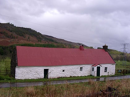
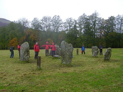
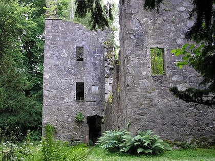
Nearby attractions include: Falls of Dochart, Moirlanich Longhouse, Killin Stone Circle, Finlarig Castle.
Frequently Asked Questions (FAQ)
Which popular attractions are close to Inchbuie?
Nearby attractions include Falls of Dochart, Killin (2 min walk), Killin Stone Circle, Killin (8 min walk), Finlarig Castle, Killin (24 min walk).
