Isle of Wight Coastal Path, Ryde
Map

Gallery

Facts and practical information
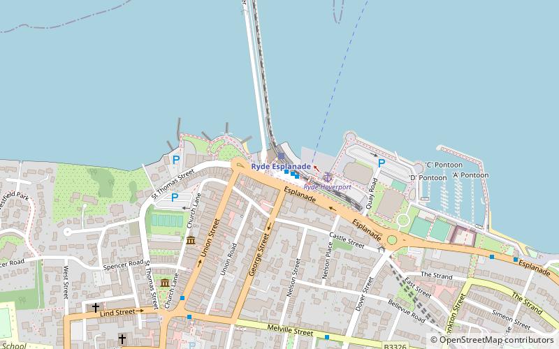
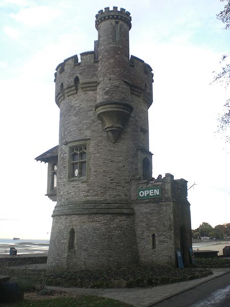
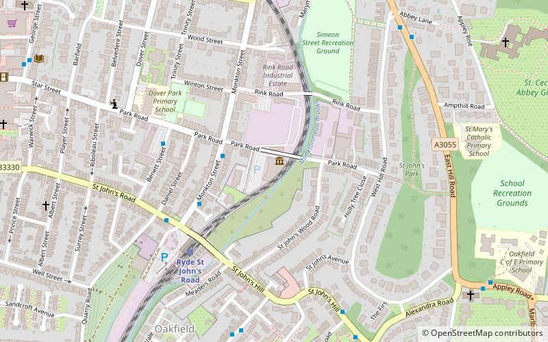
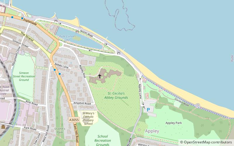
The Isle of Wight Coastal Path is a circular long-distance footpath of 70 miles around the Isle of Wight, UK. It follows public footpaths and minor lanes, with some sections along roads. ()
Length: 67 miSeason: All yearCoordinates: 50°43'58"N, 1°9'35"W
Address
Ryde
ContactAdd
Social media
Add
Day trips
Isle of Wight Coastal Path – popular in the area (distance from the attraction)
Nearby attractions include: Ryde Town Hall, Royal Victoria Arcade, All Saints' Church, Isle of Wight Bus & Coach Museum.
Frequently Asked Questions (FAQ)
Which popular attractions are close to Isle of Wight Coastal Path?
Nearby attractions include Ryde Town Hall, Ryde (4 min walk), Ryde Pier, Ryde (8 min walk), St James' Church, Ryde (8 min walk), All Saints' Church, Ryde (13 min walk).
How to get to Isle of Wight Coastal Path by public transport?
The nearest stations to Isle of Wight Coastal Path:
Bus
Train
Bus
- Ryde Bus Station (1 min walk)
- Ryde, Bus Station • Lines: 2, 3, 37, 4, 8, 9, Downs Breezer (1 min walk)
Train
- Ryde Esplanade (1 min walk)
- Ryde Pier Head (12 min walk)


