Jubilee Walkway, London
Map
Gallery
Facts and practical information
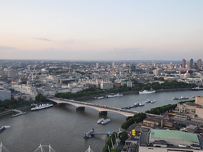
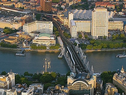
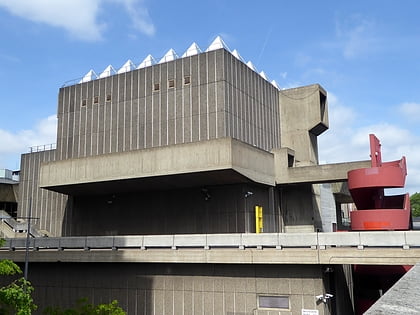
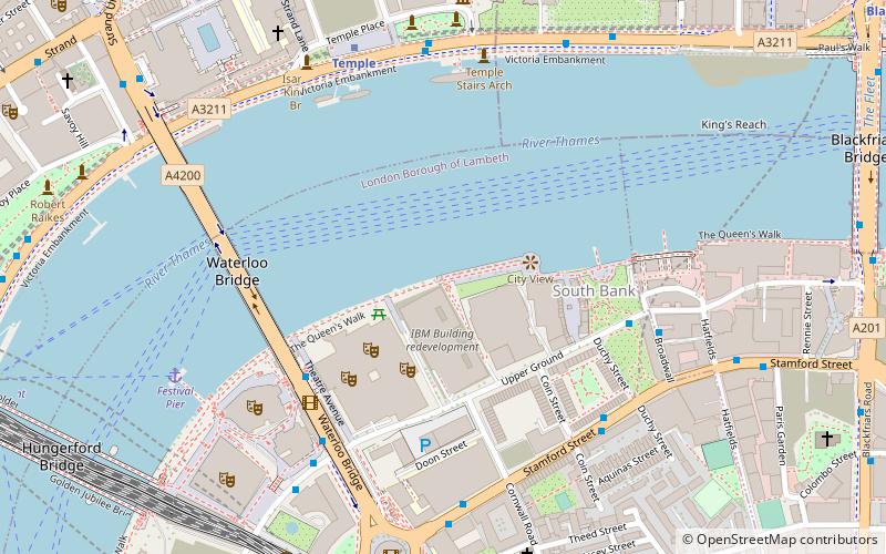
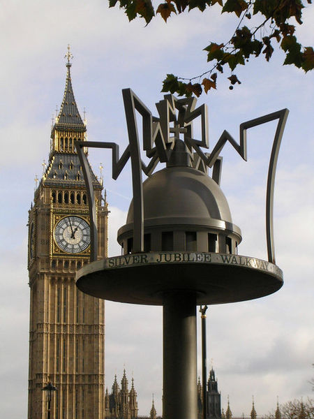
The Jubilee Walkway is an official walking route in London. It was originally opened as the Silver Jubilee Walkway to commemorate Queen Elizabeth II's accession; the Queen herself opened it on 9 June 1977 during her silver jubilee celebrations. The intention was to connect many of London's major tourist attractions and it is now one of seven such walks within the Mayor of London's strategic walking routes. Its length is 15 miles. ()
Season: All yearCoordinates: 51°30'30"N, 0°6'45"W
Address
Lambeth (Bishop's)London
ContactAdd
Social media
Add
Day trips
Jubilee Walkway – popular in the area (distance from the attraction)
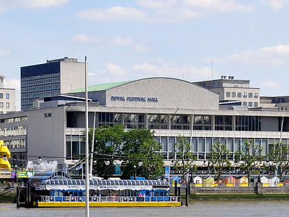
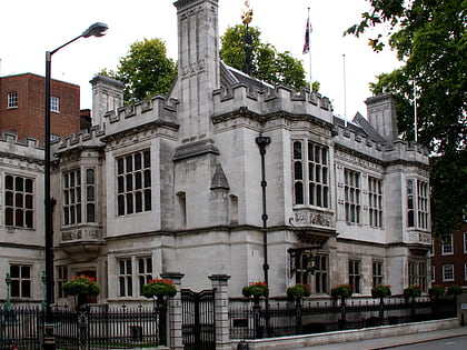
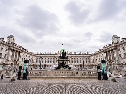
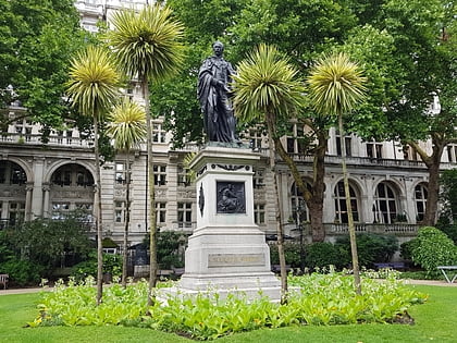
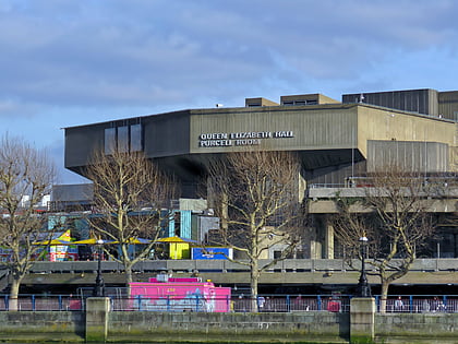
Nearby attractions include: Royal Festival Hall, Two Temple Place, Somerset House, Victoria Embankment Gardens.
Frequently Asked Questions (FAQ)
Which popular attractions are close to Jubilee Walkway?
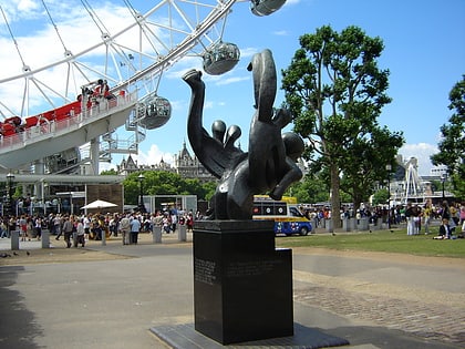
Nearby attractions include The London Studios, London (2 min walk), National Theatre, London (3 min walk), Garden Bridge, London (3 min walk), London Pride Sculpture, London (3 min walk).
How to get to Jubilee Walkway by public transport?
The nearest stations to Jubilee Walkway:
Bus
Metro
Ferry
Train
Light rail
Bus
- Waterloo Bridge / South Bank • Lines: 26 (4 min walk)
- Waterloo Station / Tenison Way • Lines: 243 (8 min walk)
Metro
- Temple • Lines: Circle, District (6 min walk)
- Waterloo • Lines: Bakerloo, Jubilee, Northern, Waterloo & City (10 min walk)
Ferry
- Festival Pier • Lines: Green Tour (7 min walk)
- Embankment • Lines: Green Tour, Rb1, Rb1X, Rb2, Rb6 (10 min walk)
Train
- Waterloo East (9 min walk)
- London Waterloo (10 min walk)
Light rail
- Bank Platform 10 • Lines: B-L, B-Wa (28 min walk)

 Tube
Tube